00 Pitalkhora caves stupa - 4.jpg
From Underfoot

Size of this preview: 800 × 600 pixels. Other resolutions: 320 × 240 pixels | 640 × 480 pixels | 1,024 × 768 pixels | 1,280 × 960 pixels | 2,560 × 1,920 pixels | 4,000 × 3,000 pixels.
Original file (4,000 × 3,000 pixels, file size: 3.06 MB, MIME type: image/jpeg)
Summary
| Description |
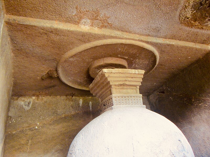
English: Pitalkhora was an ancient stop on the trade route between Sopara – Kalyan – Bharuch – Ter.
This site in Pitalkhora consisted of 14 significant caves with stone beds and more minor caves, all associated with the Mahayana Buddhist tradition. Some of located to the left of ravine (waterfall), others to the right. Cave 3 is the most substantial cave. Two inscriptions near Caves 10 and 11 suggest that these were gifts (of Samghaka). This is an ASI protected and managed monument of India. |
| Date | |
| Source | Own work |
| Author | Ms Sarah Welch |
| Camera location | | View this and other nearby images on: OpenStreetMap |
|---|
Licensing
I, the copyright holder of this work, hereby publish it under the following licence:
This file is licensed under the Creative Commons Attribution-Share Alike 4.0 International licence.
- You are free:
- to share – to copy, distribute and transmit the work
- to remix – to adapt the work
- Under the following conditions:
- attribution – You must give appropriate credit, provide a link to the licence, and indicate if changes were made. You may do so in any reasonable manner, but not in any way that suggests the licensor endorses you or your use.
- share alike – If you remix, transform, or build upon the material, you must distribute your contributions under the same or compatible licence as the original.
File history
Click on a date/time to view the file as it appeared at that time.
| Date/Time | Thumbnail | Dimensions | User | Comment | |
|---|---|---|---|---|---|
| current | 16:24, 18 January 2021 | | 4,000 × 3,000 (3.06 MB) | wikimediacommons>Ms Sarah Welch | Uploaded own work with UploadWizard |
File usage
There are no pages that use this file.