Bodenberghöhle 01.jpg
From Underfoot

Size of this preview: 800 × 533 pixels. Other resolutions: 320 × 213 pixels | 640 × 427 pixels | 1,024 × 683 pixels | 1,280 × 853 pixels | 2,560 × 1,707 pixels | 5,184 × 3,456 pixels.
Original file (5,184 × 3,456 pixels, file size: 3.77 MB, MIME type: image/jpeg)
Summary
| Description |
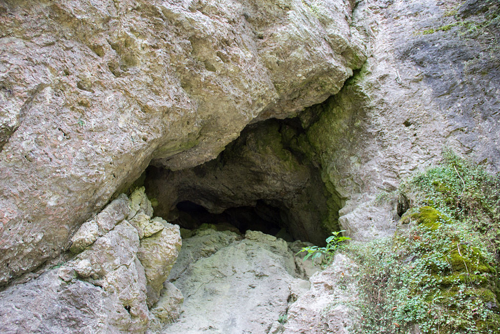
Deutsch: Bodenberghöhle, Neutras |
| Date | |
| Source | Own work |
| Author | Derzno |
| Camera location | | View this and other nearby images on: OpenStreetMap |
|---|
Licensing
I, the copyright holder of this work, hereby publish it under the following licence:
This file is licensed under the Creative Commons Attribution 3.0 Unported licence.
- You are free:
- to share – to copy, distribute and transmit the work
- to remix – to adapt the work
- Under the following conditions:
- attribution – You must give appropriate credit, provide a link to the licence, and indicate if changes were made. You may do so in any reasonable manner, but not in any way that suggests the licensor endorses you or your use.
File history
Click on a date/time to view the file as it appeared at that time.
| Date/Time | Thumbnail | Dimensions | User | Comment | |
|---|---|---|---|---|---|
| current | 10:19, 17 January 2015 | | 5,184 × 3,456 (3.77 MB) | wikimediacommons>Derzno | {{Information |Description ={{de|1=Bodenberghöhle, Neutras}} |Source ={{own}} |Author =Derzno |Date =2014-08-17 |Permission = |other_versions = }} Category:Bodenberghöhle (A 90) |
File usage
More than 100 pages use this file. The following list shows the first 100 pages that use this file only. A full list is available.
- Cultural heritage D-5-6535-0103 Pommelsbrunn
- Cultural heritage D-5-6335-0021 Neuhaus an der Pegnitz
- Kleine Teufelshöhle
- Sandsteinbruch nördlich von Moosbach
- Ehemaliger Steinbruch Teufelskirche
- Eisenerzbergwerk Leonie
- Felsenkeller bei Fischbach
- Geisloch bei Münzinghof
- Steinbrüche von Unterrieden
- Lettensturz
- Höhlenruine von Hunas
- Sandgrube bei Heinleinshof
- Eisenbahntunnel in Vorra
- Steinbruch nordöstlich von Happurg
- Steinbruch in der Flur Kesselgrub
- Hirschberghöhle
- Wirrlesloch
- Ehemaliger Steinbruch nördlich des Distellochdamms
- Steinbruch Lindenlohe bei Ungelstetten
- Höhle unter der St. Magdalena-Kapelle
- Steinbruch Oberrieden
- Sandgrube beim Mauschelhof
- Ehemalige Tongrube bei Reichenschwand
- Höhlenstation in Pommelsbrunn
- Sandgrube am Gitzberg
- Kaolingrube Schnaittenbach
- Fußgängerunterführung in Hersbruck
- Felsdach in Happurg
- Höhlenstation in Hartenstein
- Höhlenstation in Hartenstein
- Höhlenstation in Hartenstein
- Felsdach in Hartenstein
- Höhlenstation in Hartenstein
- Höhlenstation in Hartenstein
- Höhlenstation in Hartenstein
- Höhlenstation in Hartenstein
- Höhle in Hartenstein
- Höhle in Hartenstein
- Höhlenstation in Hartenstein
- Höhlenstation in Kirchensittenbach
- Höhlenstation in Neunkirchen am Sand
- Höhle in Pommelsbrunn
- Höhlenstation in Velden
- Höhlenstation in Vorra
- Höhlenstation in Vorra
- Höhlenstation in Vorra
- Höhle in Neuhaus an der Pegnitz
- Ehem. Sandgrube W von Sand bei Auerbach
- Maffei-Schächte der Grube Nitzlbuch
- Kaltenbachquelle S von Dillberg
- Aufgel. Steinbruch NE von Großschönbrunn
- Ehemaliger Steinbruch am Sattelberg SW von Hartenhof
- Ehemaliger Steinbruch E von Hadermühle
- Ehemaliger Steinbruch am Rödelberg N von Ischhofen
- Ehemaliger Steinbruch WSW von Bischofsreuth
- Ehemaliger Steinbruch NNW von Oberndorf
- Sandgrube am Kühberg
- Sandgruben N von Süß
- Sandgrube NNW von Atzmannsricht
- Ehem. Glassandgrube N von Atzmannsricht
- Kaolinsand-Grube am Forsthof NW von Tanzfleck
- Ehem. Steinbruch SW von Wickenricht
- Ehem. Steinbruch E von Sigras
- Ehem. Steinbruch SW von Reisach
- Ehem. Steinbruch SE von Reisach
- Steinbruch am Ödersberg NE von Fürnried
- Ehemaliger Steinbruch E von Oberweißenbach
- Ehemaliger Steinbruch N von Vorra
- Ehemaliger Steinbruch NE von Schupf
- Ehem. Sandgrube am Schwabenberg SE von Axtheid-Berg
- Ehemaliger Steinbruch N von Malsbach
- Ehemaliger Steinbruch südlich von Utzenhofen
- Eisenerzabbau Anna-Schacht
- Mühlsteinbruch W von Massenricht
- Mittlere Lupberghöhle
- Höhlen im Dörlbacher Einschnitt
- Ehemaliger Steinbruch östlich von Fischbach b. Nürnberg
- Ehemaliger Steinbruch bei Offenhausen
- Höhle beim Felslindl
- Windloch bei Sackdilling
- Steinbrüche von Ober- und Unterrieden
- Ehemaliger Steinbruch südlich des Distellochdamms
- Cultural heritage D-4-6333-0016 in Gräfenberg
- Cultural heritage D-4-6333-0023 in Gräfenberg
- Cultural heritage D-4-6333-0005 in Obertrubach
- Cultural heritage D-4-6333-0292 in Obertrubach
- Cultural heritage D-4-6234-0079 in Pottenstein (Oberfranken)
- Cultural heritage D-4-6234-0005 in Pottenstein (Oberfranken)
- Cultural heritage D-4-6234-0157 in Pottenstein (Oberfranken)
- Cultural heritage D-4-6234-0151 in Waidacher Forst
- Cultural heritage D-3-6435-0050 in Etzelwang
- Cultural heritage D-3-6435-0054 in Etzelwang
- Cultural heritage D-3-6435-0063 in Etzelwang
- Cultural heritage D-3-6435-0004 in Hirschbach (Oberpfalz)
- Cultural heritage D-3-6335-0009 in Königstein (Oberpfalz)
- Cultural heritage D-3-6435-0106 in Neukirchen bei Sulzbach-Rosenberg
- Cultural heritage D-3-6435-0110 in Neukirchen bei Sulzbach-Rosenberg
- Cultural heritage D-3-6435-0034 in Neukirchen bei Sulzbach-Rosenberg
- Cultural heritage D-3-6435-0080 in Neukirchen bei Sulzbach-Rosenberg
- Cultural heritage D-3-6435-0035 in Neukirchen bei Sulzbach-Rosenberg
View more links to this file.