Construción túnel das Maceiras.jpg
From Underfoot

Size of this preview: 800 × 600 pixels. Other resolutions: 320 × 240 pixels | 640 × 480 pixels | 1,024 × 768 pixels | 1,280 × 960 pixels | 2,048 × 1,536 pixels.
Original file (2,048 × 1,536 pixels, file size: 707 KB, MIME type: image/jpeg)
Summary
| Description |
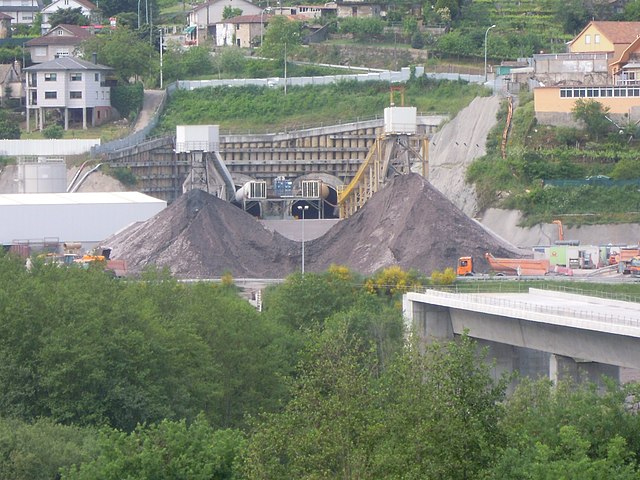
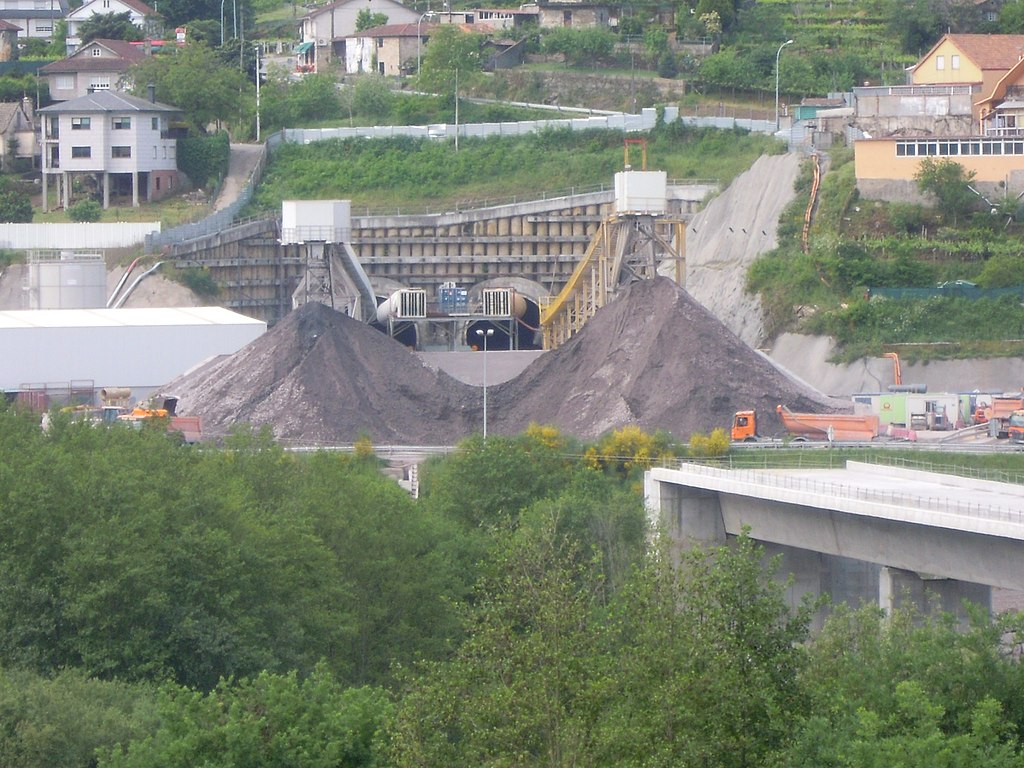
Galego: Obras de construción do eixe atlántico de alta velocidade; túnel das Maceiras, entre Redondela e Vigo. |
| Date | |
| Source | Ficheiro:Construción túnel das Maceiras.jpg |
| Author | Adrián Estévez (Estevoaei) |
| Camera location | | View this and other nearby images on: OpenStreetMap |
|---|
Licensing
Wikipedia galega user Estevoaei, the copyright holder of this work, hereby publishes it under the following licence:

|
Permission is granted to copy, distribute and/or modify this document under the terms of the GNU Free Documentation Licence, Version 1.2 or any later version published by the Free Software Foundation; with no Invariant Sections, no Front-Cover Texts, and no Back-Cover Texts. A copy of the licence is included in the section entitled GNU Free Documentation Licence. |
File history
Click on a date/time to view the file as it appeared at that time.
| Date/Time | Thumbnail | Dimensions | User | Comment | |
|---|---|---|---|---|---|
| current | 18:56, 2 May 2015 | | 2,048 × 1,536 (707 KB) | wikimediacommons>Jtcurses | User created page with UploadWizard |
File usage
The following page uses this file: