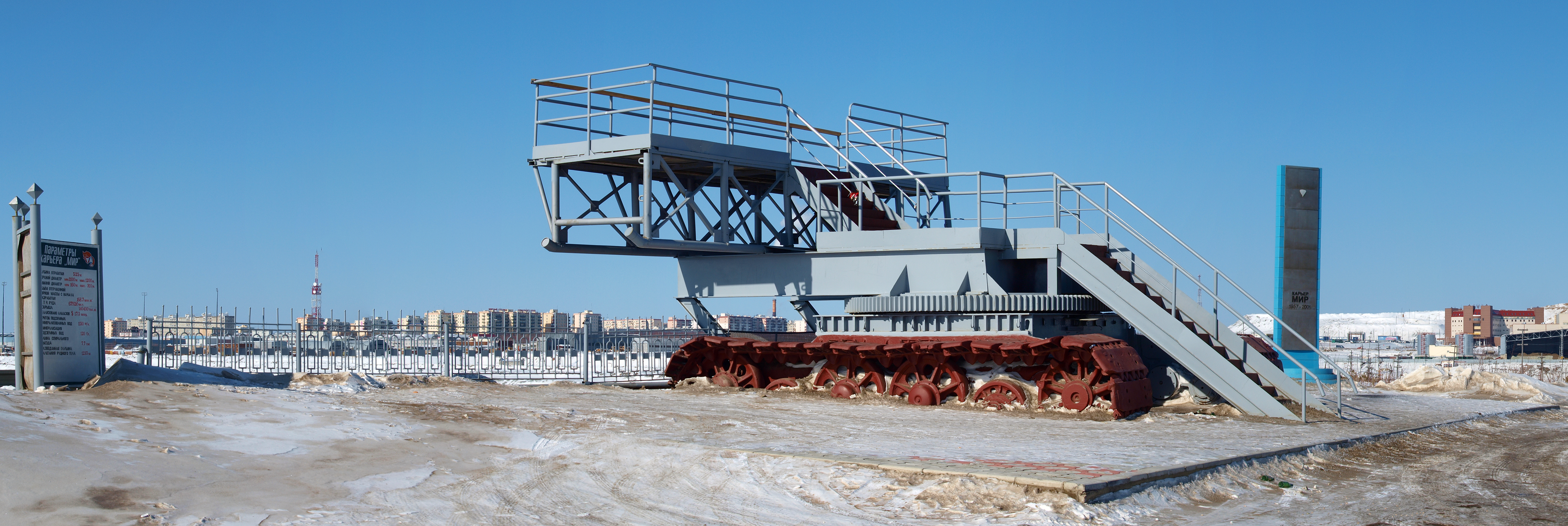
Diamond mine. Mirny in Yakutia. 04.jpg
From Underfoot
Size of this preview: 800 × 268 pixels. Other resolutions: 320 × 107 pixels | 640 × 215 pixels | 1,024 × 343 pixels | 1,280 × 429 pixels | 2,560 × 858 pixels | 7,136 × 2,393 pixels.
Original file (7,136 × 2,393 pixels, file size: 10.58 MB, MIME type: image/jpeg)
Summary
| Description |
English: Diamond mine. Mirny in Yakutia. Русский: Алмазный рудник. Город Мирный в Якутии. Español: Mina de diamantes. Mirny en Yakutia. Deutsch: Diamantenmine. Mirny in Jakutien. 中文:金剛石礦。在雅庫特的米爾內。 العربية: منجم الماس. ميرني في ياقوتيا. |
| Date | |
| Source | Own work |
| Author | Staselnik |
| Camera location | | View this and other nearby images on: OpenStreetMap |
|---|

|
NOTE: This image is a panorama consisting of multiple frames that were merged in software. As a result, this image necessarily underwent some form of digital manipulation. These manipulations may include blending, blurring, cloning, and colour and perspective adjustments. As a result of these adjustments, the image content may be slightly different than reality at the points where multiple images were combined. This manipulation is often required due to lens, perspective, and parallax distortions.
|
Licensing
I, the copyright holder of this work, hereby publish it under the following licence:
This file is licensed under the Creative Commons Attribution-Share Alike 3.0 Unported licence.
- You are free:
- to share – to copy, distribute and transmit the work
- to remix – to adapt the work
- Under the following conditions:
- attribution – You must give appropriate credit, provide a link to the licence, and indicate if changes were made. You may do so in any reasonable manner, but not in any way that suggests the licensor endorses you or your use.
- share alike – If you remix, transform, or build upon the material, you must distribute your contributions under the same or compatible licence as the original.
This image has been assessed using the Quality image guidelines and is considered a Quality image.
|
File history
Click on a date/time to view the file as it appeared at that time.
| Date/Time | Thumbnail | Dimensions | User | Comment | |
|---|---|---|---|---|---|
| current | 22:08, 8 November 2013 | 7,136 × 2,393 (10.58 MB) | wikimediacommons>Staselnik | User created page with UploadWizard |
File usage
There are no pages that use this file.