Disused Mine, Water Hill (geograph 1929340).jpg
From Underfoot
Size of this preview: 400 × 600 pixels. Other resolutions: 160 × 240 pixels | 320 × 480 pixels | 512 × 768 pixels | 682 × 1,024 pixels | 2,520 × 3,780 pixels.
Original file (2,520 × 3,780 pixels, file size: 3.64 MB, MIME type: image/jpeg)
.jpg)
Summary
| Description |
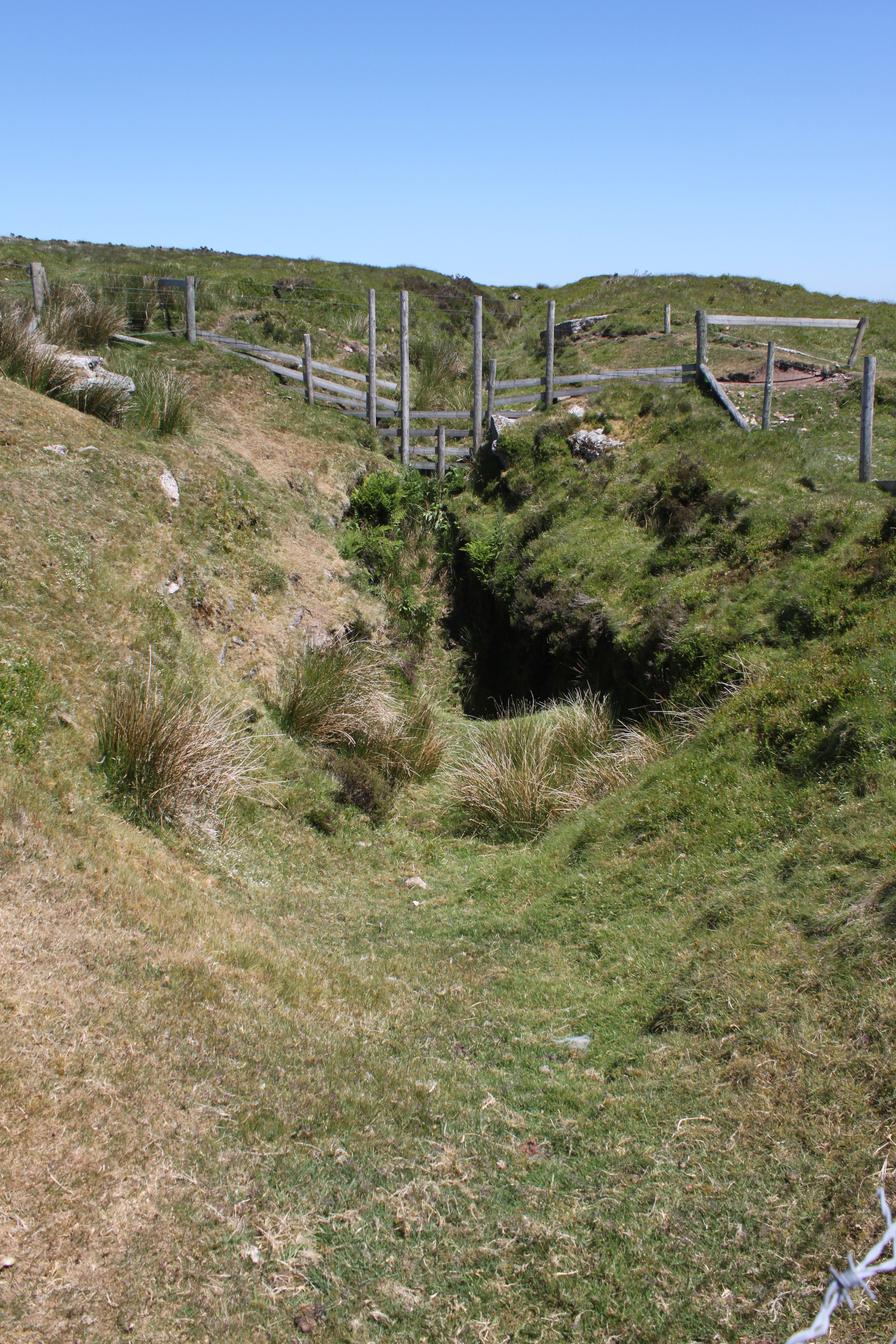
English: Disused Mine, Water Hill |
| Date | |
| Source | From geograph.org.uk |
| Author | Charles Drown |
| Permission (Reusing this file) |
Creative Commons Attribution Share-alike license 2.0 |
| Attribution (required by the licence) | Charles Drown / Disused Mine, Water Hill / |
| Camera location | | View this and other nearby images on: OpenStreetMap |
|---|
.jpg¶ms=050.612792_N_-003.880894_E_globe:Earth_type:camera_heading:45.00_source:geograph&language=en-gb)
| Object location | | View this and other nearby images on: OpenStreetMap |
|---|
.jpg¶ms=050.613100_N_-003.880000_E_globe:Earth_class:object_type:object_source:geograph-osgb36(SX670809)_region:GB-GBN_heading:45.00&language=en-gb)
Licensing

|
This image was taken from the Geograph GB & Eire project collection. See this photograph's page on the Geograph website for the photographer's contact details. The copyright on this image is owned by Charles Drown, and is licensed for reuse under the Creative Commons Attribution Share-Alike 2.0 license.
|
This file is licensed under the Creative Commons Attribution-Share Alike 2.0 Generic licence.
Attribution:
Charles Drown
- You are free:
- to share – to copy, distribute and transmit the work
- to remix – to adapt the work
- Under the following conditions:
- attribution – You must give appropriate credit, provide a link to the licence, and indicate if changes were made. You may do so in any reasonable manner, but not in any way that suggests the licensor endorses you or your use.
- share alike – If you remix, transform, or build upon the material, you must distribute your contributions under the same or compatible licence as the original.
File history
Click on a date/time to view the file as it appeared at that time.
| Date/Time | Thumbnail | Dimensions | User | Comment | |
|---|---|---|---|---|---|
| current | 13:59, 6 August 2016 | | 2,520 × 3,780 (3.64 MB) | wikimediacommons>Rodw | Transferred from geograph.co.uk using [https://tools.wmflabs.org/geograph2commons/ geograph2commons] |
File usage
The following 41 pages use this file:
- Silverbrook Mine
- Blackboy Tunnel
- Clerk's Tunnel
- Coryton Tunnel
- Kennaway Tunnel
- Parson's Tunnel
- Shaugh Tunnel
- Shillamill Tunnel
- Morwellham Quay
- Exeter Borough Control
- Plymouth Emergency Centre
- Monkstone Mine
- St Davids Tunnel
- Devon Great Consols
- tin mine
- Hermerdon Ball mine
- Meldon Quarry
- Exeter Underground Passages
- Cow Cave
- Pixie's Hole
- Gawton arsenic mine and flue
- Gunnislake Clitters copper, tin, arsenic and wolfram mine
- Okeltor 19th century arsenic, copper and tin mine
- Keaglesborough Mine and Riddipit farmstead 850m north east of Norsworthy Bridge
- Early 20th century arsenic works at the Devon Great Consols Mine
- Wheal Katherine, 235m west of Plym Ford, forming an outlying part of Eylesbarrow Tin Mine
- Foxhole Mine and other tinworks south east of Arms Tor
- George and Charlotte Copper Mine
- Grotto South East Of Oldway Mansion
- Engine House And Chimney At Druid Copper Mine
- Joint Mitnor Cave
- Bakers Pit
- Birch Tor and Vitifer mine
- Crownhill Fort
- Devon United Mine
- Eylesbarrow mine
- Great Rock Mine
- Hemerdon Mine
- Kelly Mine, Devon
- Pridhamsleigh Cavern
- Reed's cave
.jpg)