Doubrava as seen from a local hill.jpg 02.jpg
From Underfoot

Size of this preview: 800 × 533 pixels. Other resolutions: 320 × 213 pixels | 640 × 427 pixels | 1,024 × 683 pixels | 1,280 × 853 pixels | 2,560 × 1,707 pixels | 5,616 × 3,744 pixels.
Original file (5,616 × 3,744 pixels, file size: 8.67 MB, MIME type: image/jpeg)
Summary
| Description |
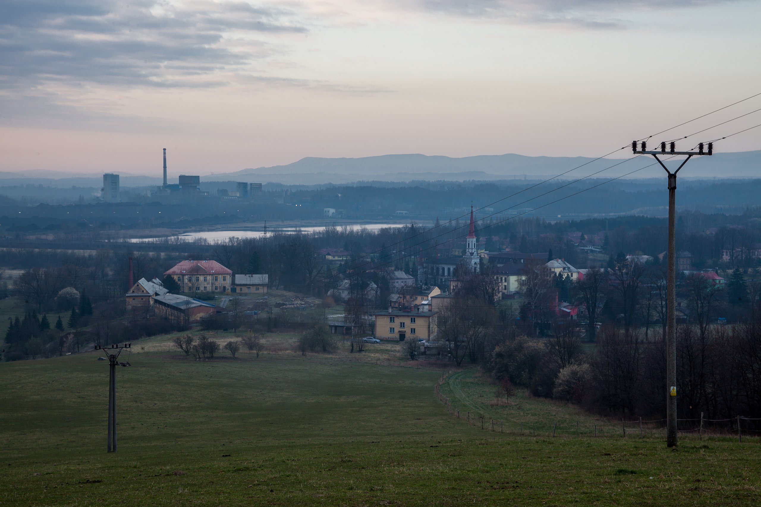
Čeština: Pohled na obec Doubrava a uhelný důl Jan Karel v městské části Karviná-Doly (součást dolu ČSA) z místního kopce v dubnu 2020, okres Karviná, Moravskoslezský kraj, Česko
English: Doubrava and coal mine Jan Karel in Karviná-Doly (part of Mine ČSA) as seen from a local hill in April 2020, Karviná District, Moravian-Silesian Region, Czechia |
|||||||||||||||||
| Date | ||||||||||||||||||
| Source | Own work | |||||||||||||||||
| Author |
|
|||||||||||||||||

| Camera location | | View this and other nearby images on: OpenStreetMap |
|---|
Licensing
I, the copyright holder of this work, hereby publish it under the following licence:
This file is licensed under the Creative Commons Attribution-Share Alike 4.0 International licence.
- You are free:
- to share – to copy, distribute and transmit the work
- to remix – to adapt the work
- Under the following conditions:
- attribution – You must give appropriate credit, provide a link to the licence, and indicate if changes were made. You may do so in any reasonable manner, but not in any way that suggests the licensor endorses you or your use.
- share alike – If you remix, transform, or build upon the material, you must distribute your contributions under the same or compatible licence as the original.
File history
Click on a date/time to view the file as it appeared at that time.
| Date/Time | Thumbnail | Dimensions | User | Comment | |
|---|---|---|---|---|---|
| current | 12:30, 14 April 2020 | | 5,616 × 3,744 (8.67 MB) | wikimediacommons>Plánovací kalendář | Uploaded own work with UploadWizard |
File usage
There are no pages that use this file.