Goginan Lead And Silver Mine.jpg
From Underfoot
Size of this preview: 450 × 600 pixels. Other resolutions: 180 × 240 pixels | 360 × 480 pixels | 576 × 768 pixels | 768 × 1,024 pixels | 1,536 × 2,048 pixels | 3,456 × 4,608 pixels.
Original file (3,456 × 4,608 pixels, file size: 7.39 MB, MIME type: image/jpeg)
Summary
| Description |
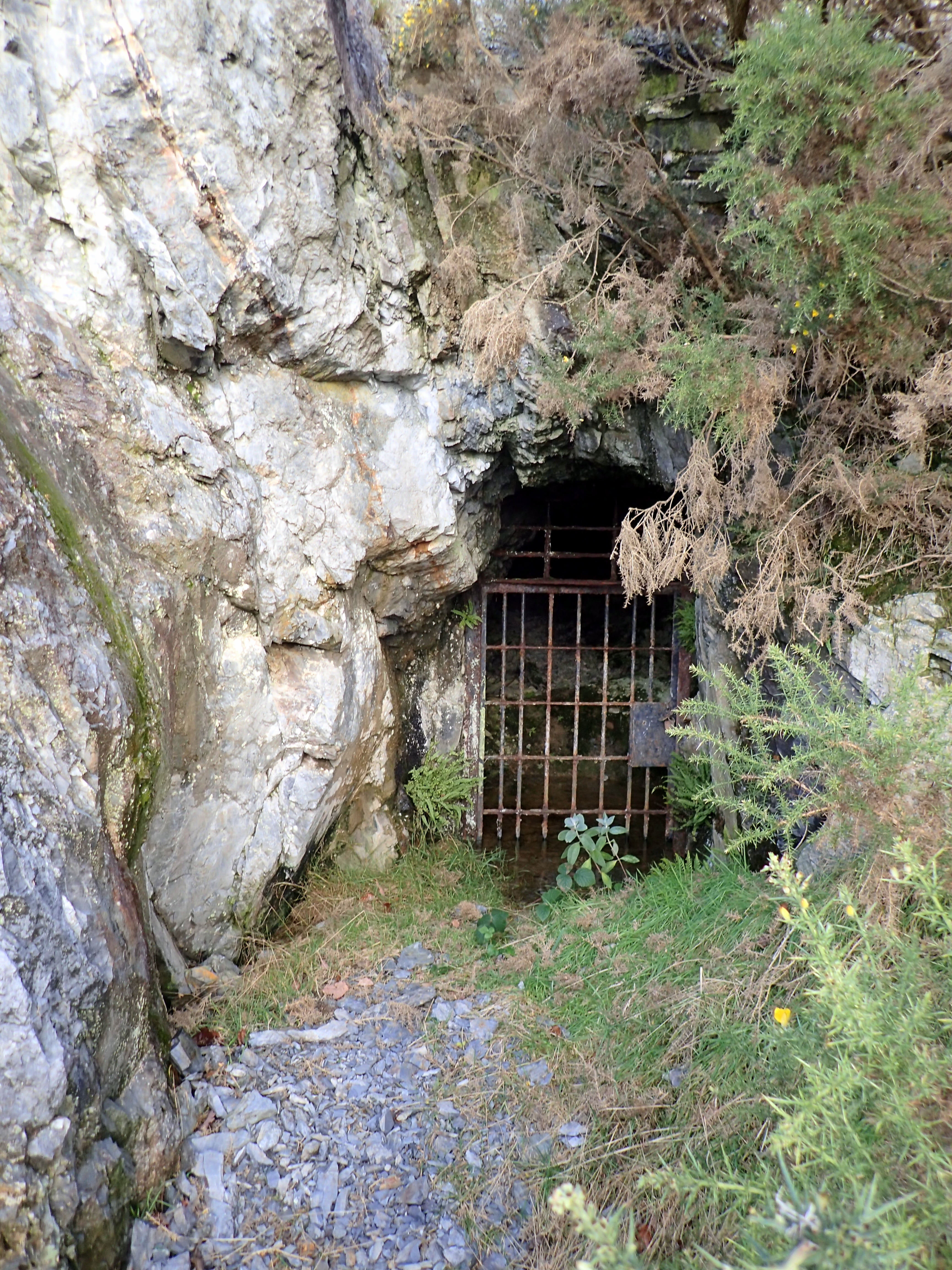
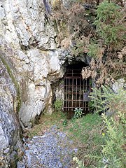
Cymraeg: Mwynglawdd Plwm ac Arian Goginan. Mwynglawdd plwm ym Melindwr English: Goginan Lead And Silver Mine |
| Source | Mindat.org |
| Author | Chris Popham |
| Object location | | View this and other nearby images on: OpenStreetMap |
|---|
Licensing
| This work has been released into the public domain by its author, Chris Popham. This applies worldwide. In some countries this may not be legally possible; if so: Chris Popham grants anyone the right to use this work for any purpose, without any conditions, unless such conditions are required by law.
|
File history
Click on a date/time to view the file as it appeared at that time.
| Date/Time | Thumbnail | Dimensions | User | Comment | |
|---|---|---|---|---|---|
| current | 23:18, 18 November 2020 | | 3,456 × 4,608 (7.39 MB) | wikimediacommons>Jason.nlw | New image for d:Q102081758 |
File usage
More than 100 pages use this file. The following list shows the first 100 pages that use this file only. A full list is available.
- Nantycar Copper And Lead Mine
- Nant-Y-Garw lead mine
- Alltycrib Mine
- Blaen Ceulan Lead Mine
- Bronfloyd Lead Mine
- Bryndyfi Lead Mine
- Bwlch Cwmeruin
- Cefn Gwyn Lead Mine
- Graig Goch Lead & Zinc Mine
- Cwmbrwyno Lead Mine
- Cwmerfin Lead Mine
- Cwmrheidol Mine
- Cwmsebon Mine
- Cwmsymlog Lead Mine
- Copa Hill
- Great Daren Mine
- Darren Lead Mine Ore Hopper
- Esgair Hir Lead Mine
- Esgair Lle
- Esgairmwyn Lead Mine, Mine Workings Complex
- Fairchance Lead Mine (South)
- Florida Lead & Zinc Mine
- Glog Fach Lead Mine
- Glogfawr Mine
- Goginan Lead And Silver Mine
- Grogwynion Lead Mine
- Gwaith Bron-Floyd Lead Mine
- Hafan Lead Mine
- Pen Rosser and Pentre Mawr Lead Mine Levels
- Level Fawr Yard
- Llancynfelyn
- Llawr-Y-Cwm Bach
- Vaughan Mine
- Llwyn Teifi Lead Mine
- Powell's Llywernog Mine
- Logaulas Lead Mine
- Nantycreiau Lead Mine
- Nant-Yr-Arian
- Pencraig Ddu Lead And Silver Mines
- Penrhiw Lead & Zinc Mine
- Plynlimon Lead Mine
- Rhysgog Lead Mine
- Tanyrallt Lead Mine
- Temple Lead Mine
- Ty-Llwyd Lead Mine
- Wemyss, Frongoch Lead Mine
- Ystumtuen Lead Mine
- Brynposteg Lead Mine
- Cwmfron Lead Mine
- Gorn Lead Mine
- Bryntail Mine, Gundry's Shaft
- Gwestyn Copper And Lead Mine
- Hore Mine, Workings
- Llanerchyraur Lead Mine
- Nant Iago Lead Mine
- Nant-Yr-Eira Mine
- Penyclun Lead Mine
- Pen-Y-Crogbren
- Rhoswydol Lead Mine
- Nanty Lead Mine
- Creigiaullwyrdion Lead Mine
- Cwm Elan Lead Mine Complex
- West Fedw Lead Mine
- Esgairmwyn Lead Mine, Refining Mill
- Penygist Lead Mine
- Tynyfron Mine
- Caegynon Mine
- Bwlchglas Mine
- Llwynmalis
- Cwm Bach Mine
- Bryn-Yr-Afr Lead Mine
- Dalrhiw Lead Mine
- Nant Y Car Mine Buildings
- Camddwr Metal Mine
- South Cambrian Lead Mine
- Bwlch-Ystyllen Lead Mine
- Camdwrmawr Mine
- Nant-Y-Moch Metal Mine
- Llyn Llygad
- West Wye Valley Lead Mine
- Wye Valley Lead Mine East
- Camdwr Bach Lead Mine
- Bugeilyn
- Bendigaid Mine
- Brynhope Lead Mine
- Florida Mine Shafts
- Cwm Mawr Mine
- Penlan Fach Mine
- Fairchance Lead Mine (North)
- Fairchance Mine (South), Bell Pits
- Esgair Mwyn Reservoir
- Ponterwyd Lead Mine
- Bog Mine
- Clara
- Pont Marteg
- Yr Wylorn
- Dolhelfa-Isaf
- Esgair-Ddu Lead Mine
- Nant Ddu Mine
- Hyddgen Lead Mine
View more links to this file.