Higham to Strood rail tunnel - geograph.org.uk - 1399443.jpg
From Underfoot
No higher resolution available.
Higham_to_Strood_rail_tunnel_-_geograph.org.uk_-_1399443.jpg (640 × 480 pixels, file size: 127 KB, MIME type: image/jpeg)
Summary
| Description |
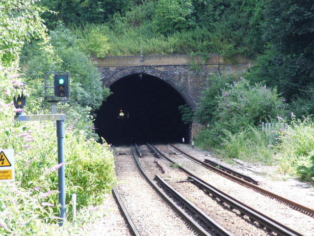
English: Higham to Strood rail tunnel Before the railway, this tunnel was used for the Thames Medway canal. |
| Date | |
| Source | From geograph.org.uk |
| Author | Chris Whippet |
| Attribution (required by the licence) | Chris Whippet / Higham to Strood rail tunnel / |
| Camera location | | View this and other nearby images on: OpenStreetMap |
|---|
_heading:135.00&language=en-gb)
| Object location | | View this and other nearby images on: OpenStreetMap |
|---|
_heading:135.00&language=en-gb)
Licensing

|
This image was taken from the Geograph GB & Eire project collection. See this photograph's page on the Geograph website for the photographer's contact details. The copyright on this image is owned by Chris Whippet, and is licensed for reuse under the Creative Commons Attribution Share-Alike 2.0 license.
|
This file is licensed under the Creative Commons Attribution-Share Alike 2.0 Generic licence.
Attribution:
Chris Whippet
- You are free:
- to share – to copy, distribute and transmit the work
- to remix – to adapt the work
- Under the following conditions:
- attribution – You must give appropriate credit, provide a link to the licence, and indicate if changes were made. You may do so in any reasonable manner, but not in any way that suggests the licensor endorses you or your use.
- share alike – If you remix, transform, or build upon the material, you must distribute your contributions under the same or compatible licence as the original.
File history
Click on a date/time to view the file as it appeared at that time.
| Date/Time | Thumbnail | Dimensions | User | Comment | |
|---|---|---|---|---|---|
| current | 22:10, 28 February 2011 | | 640 × 480 (127 KB) | wikimediacommons>GeographBot | == {{int:filedesc}} == {{Information |description={{en|1=Higham to Strood rail tunnel Before the railway, this tunnel was used for the Thames Medway canal.}} |date=2009-07-13 |source=From [http://www.geograph.org.uk/photo/1399443 geograph.org.uk] |author= |
File usage
The following 42 pages use this file:
- Barking cable tunnel
- Docklands Light Railway tunnel
- Crossrail tunnels
- High Speed 1 tunnels
- Dartford Tunnel (western)
- Dartford Tunnel (eastern)
- Dartford Cable Tunnel
- Fort Pitt Tunnel
- Chatham Tunnel
- Week Street Tunnel
- Sevenoaks Tunnel
- Higham Tunnel
- Strood Tunnel
- Greenwich Borough Control Bunker 51C1
- Hollingbourne Second World War Zero Station
- Vange Anti-Aircraft Operations Room
- Maidstone Royal Observer Corps Group Headquarters
- Bexley Emergency Centre
- Castlepoint Borough Emergency Centre
- Chislehurst South East London Group Control
- Dagenham Borough Control
- Dartford Emergency Centre
- Gillingham Borough Control
- Maidstone Springfields Kent County Emergency Centre
- Queenborough Sub Control
- Woolwich Sub Control
- Rochester Short Brothers Factory and Public Air Raid Shelter
- Upminster Report Centre
- United Kingdom railway tunnel
- Belvedere Crossing
- Grays Thurrock Chalk Pit
- Grotto At High Elms Country Park
- Gravesend Cold War Bunker
- Dartford Tunnel
- Chislehurst Caves
- Fort Bridgewoods
- Lenham Quarry
- Spot Lane Quarry
- Woolwich foot tunnel
- Medway Tunnel
- North Downs Tunnel
- Thames Cable Tunnel