Ingang Gemeentegrot.jpg
From Underfoot
Size of this preview: 800 × 600 pixels. Other resolutions: 320 × 240 pixels | 640 × 480 pixels | 1,024 × 768 pixels | 1,280 × 960 pixels | 2,304 × 1,728 pixels.
Original file (2,304 × 1,728 pixels, file size: 1.42 MB, MIME type: image/jpeg)
|
This is an image of rijksmonument number 36765
Information from structured data: |
Summary
| Description |
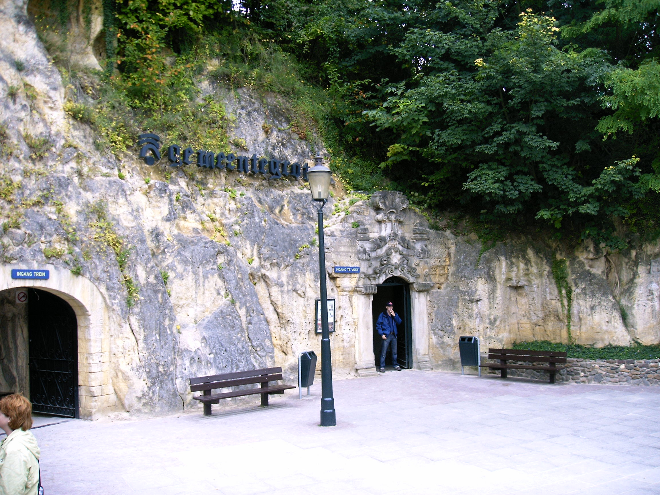
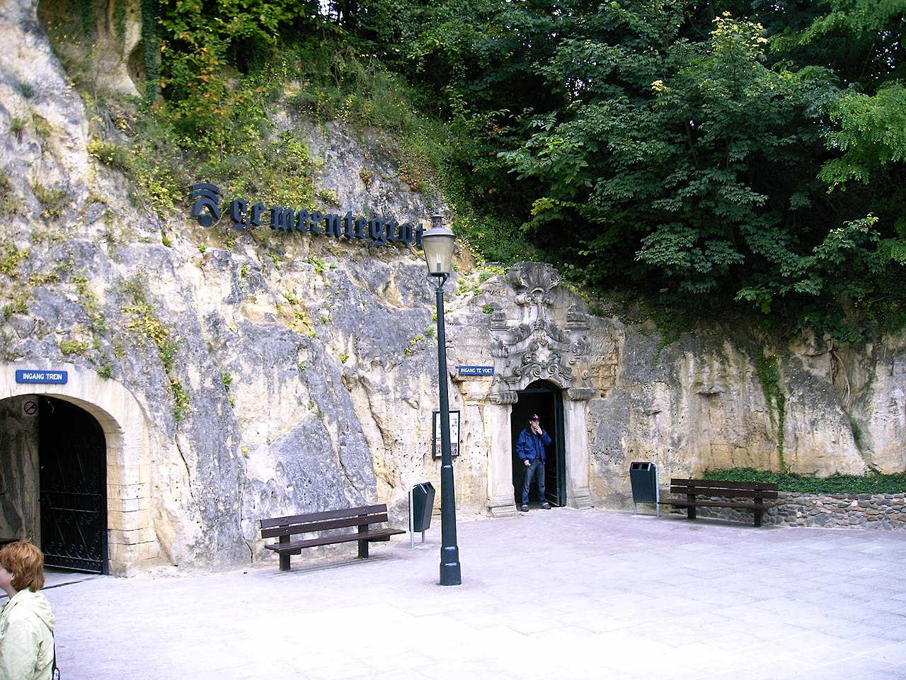
Nederlands: Gemeentegrot:Ingang English: Entrence Gemeentegrot |
| Date | |
| Source | Own work |
| Author | P.J.L Laurens |
| Object location | | View this and other nearby images on: OpenStreetMap |
|---|
Licensing
This file is licensed under the Creative Commons Attribution 3.0 Unported licence.
Attribution:
Attribution 3.0
- You are free:
- to share – to copy, distribute and transmit the work
- to remix – to adapt the work
- Under the following conditions:
- attribution – You must give appropriate credit, provide a link to the licence, and indicate if changes were made. You may do so in any reasonable manner, but not in any way that suggests the licensor endorses you or your use.
File history
Click on a date/time to view the file as it appeared at that time.
| Date/Time | Thumbnail | Dimensions | User | Comment | |
|---|---|---|---|---|---|
| current | 15:30, 20 September 2008 | | 2,304 × 1,728 (1.42 MB) | wikimediacommons>SterkeBak | {{Information |Description={{nl:Gemeentegrot:Ingang}}{{en|Entrence Gemeentegrot}} |Source=Own Work |Date=14-09-2008 |Author=P.J.L Laurens |Permission= |other_versions= }} [[Category:Gemeentegrot |
File usage
More than 100 pages use this file. The following list shows the first 100 pages that use this file only. A full list is available.
- Grube Adolf
- Grube Carl Alexander
- Domaniale mijn
- Coal Mine of Winterslag
- Staatsmijn Maurits
- Julia
- Staatsmijn Wilhelmina
- Neuprick
- Willem-Sophia
- Sibbergroeve
- Coal mine museum Valkenburg
- Geulhemmergroeve
- Staatsmijn Hendrik
- Staatsmijn Emma
- Laura
- Hammijn
- Blegny-Mine
- limestone quarry
- Coal Mine of Eisden
- Coal Mine of Zwartberg
- Coal Mine of Waterschei
- Vallenberggroeve
- Société anonyme des Charbonnages de Maireux et Bas-Bois
- Société anonyme du Charbonnage du Bois de Micheroux
- Staatsmijn Emma-Hendrik
- Groeve boven op de Riesenberg
- Riesenberggroeve
- Groeve de Kleine Hel
- Groeve de Grote Hel
- Kleinberggroeve Noord
- Groeve aan Hiereberg
- Bakkersboschgroeve
- Groeve de Hel
- Varkensgatgroeve
- Groeve de Kleine Dolekamer
- Savelsberggroeve
- Groeve Scheggeldergrub II
- Lebensboschgroeve
- Groeve het Houbenbergske I
- Strooberggroeve
- Winkelberggroeve
- Grindgroeve Krekelberg
- Bemelerbosgroeve I
- Mettenberggroeve II
- Groeve Onder de Ravengroeve
- Groeve onder de Leeraarsgroeve
- Groeve in de Dolekamer
- Kloostergroeve
- Groeve Putberg
- Groeve bij de Drie Beeldjes
- Groeve Bovenste Bosch
- Groeve Bissen
- Grindgroeve Savelsbos
- Oranje Nassau I
- Oranje Nassau II
- Oranje Nassau III
- Oranje Nassau IV
- Heidegroeve
- Heilig Hartgroeve
- Kerkhofsgroeve
- Hoorensberggroeve
- Gewandgroeve I
- Bieboschgroeve
- Groeve van de Verdwenen Honden
- Ingvarsputje
- Canadasbergske
- Sint-Jansboschheidegroeve
- Sint-Jansboschgroeven
- Groeve Theunissen II
- Fallenberggroeve
- Groeve De Keel
- Grotwoning De Kluis
- Zwarte Berg
- Groeve onder de Keutenberg
- Groeve Gerendal
- Groeve van de Scheve Spar II
- Groeve Essenbosch III
- Neolithic flint mine Biebosch
- Groeve Scheggeldergrub III
- Kleinberggroeve Zuid
- Mosterdberggroeve Zuid
- Benzenradergroeve
- Craubeekergroeve
- Groeve Kaardenbeek
- Groeve het Paradijsbergske IIa
- Groeve het Paradijsbergske Ia
- Roothergroeve
- Vogelbosgroeve
- Carolusgroeve
- Oosterweggroeve II
- Groothofgroeve
- Heekerbeekgroeve
- Sint-Josephgroeve
- Bergkelders Villa Alpha
- Cadierdalgroeve III
- Sint-Jansboschgroeve II
- Sint-Jansboschgroeve III
- Sint-Jansboschgroeve IV
- Sint-Jansboschgroeve V
- Groeve naast Beckersbergske
View more links to this file.