Lipkovske Lomy Horni Prysk 09 06 2020 B.jpg
From Underfoot

Size of this preview: 800 × 412 pixels. Other resolutions: 320 × 165 pixels | 640 × 330 pixels | 1,230 × 634 pixels.
Original file (1,230 × 634 pixels, file size: 395 KB, MIME type: image/jpeg)
Summary
| Description |
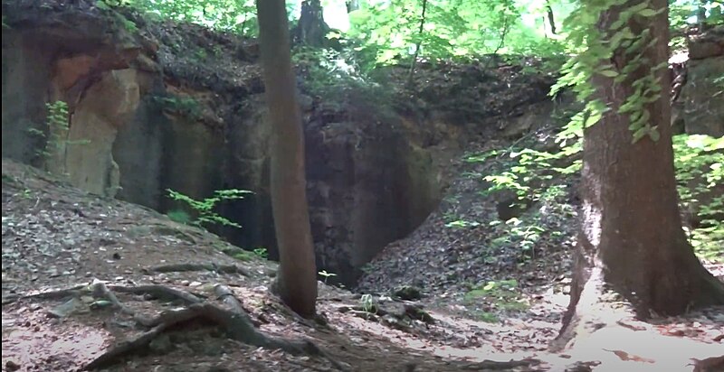
Čeština: Část bývalých Lipkovských pískovcových lomů nedaleko Horního Prysku
English: One part of the former Lipkov sandstone quarries near Horní Prysk |
| Date | |
| Source | Own work |
| Author | Mojmir Churavy |
| Camera location | | View this and other nearby images on: OpenStreetMap |
|---|
Licensing
I, the copyright holder of this work, hereby publish it under the following licence:
This file is licensed under the Creative Commons Attribution-Share Alike 4.0 International licence.
- You are free:
- to share – to copy, distribute and transmit the work
- to remix – to adapt the work
- Under the following conditions:
- attribution – You must give appropriate credit, provide a link to the licence, and indicate if changes were made. You may do so in any reasonable manner, but not in any way that suggests the licensor endorses you or your use.
- share alike – If you remix, transform, or build upon the material, you must distribute your contributions under the same or compatible licence as the original.
File history
Click on a date/time to view the file as it appeared at that time.
| Date/Time | Thumbnail | Dimensions | User | Comment | |
|---|---|---|---|---|---|
| current | 11:15, 29 July 2021 | | 1,230 × 634 (395 KB) | wikimediacommons>Mojmir Churavy | Uploaded own work with UploadWizard |
File usage
There are no pages that use this file.