Odin Mine.jpg
From Underfoot

Size of this preview: 800 × 600 pixels. Other resolutions: 320 × 240 pixels | 640 × 480 pixels | 1,024 × 768 pixels | 1,280 × 960 pixels | 2,048 × 1,536 pixels.
Original file (2,048 × 1,536 pixels, file size: 688 KB, MIME type: image/jpeg)
Summary
| Description |
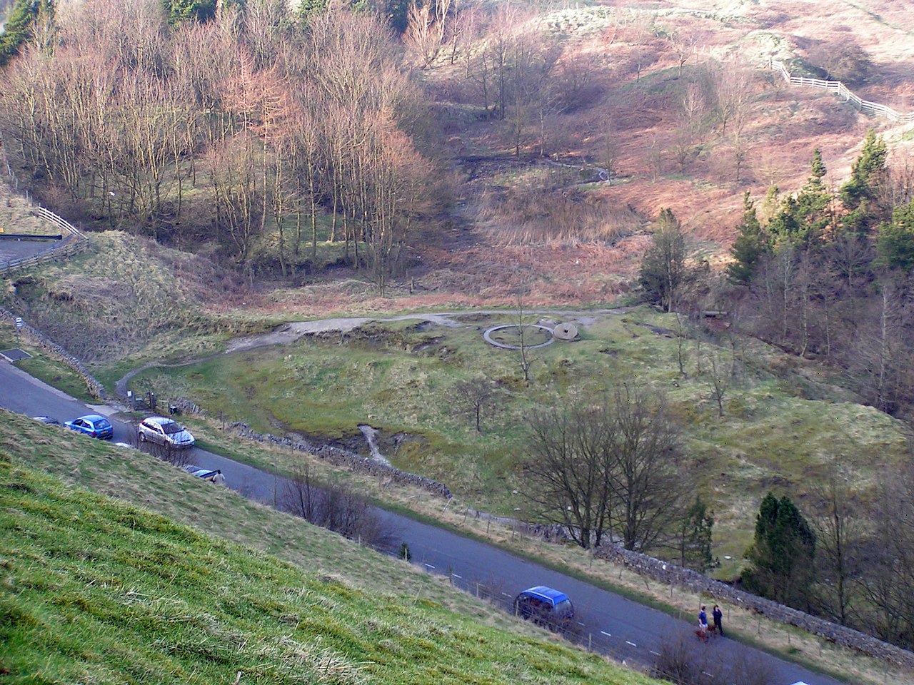
English: Odin Mine nucleated lead mine and ore works, 350m WNW of Knowlegates Farm: a scheduled ancient monument near Castleton, Derbyshire
|
|
| Date | ||
| Source | Own work | |
| Author | Dave.Dunford |
| Camera location | | View this and other nearby images on: OpenStreetMap |
|---|
Licensing
I, the copyright holder of this work, hereby publish it under the following licence:
This file is licensed under the Creative Commons Attribution-Share Alike 4.0 International licence.
- You are free:
- to share – to copy, distribute and transmit the work
- to remix – to adapt the work
- Under the following conditions:
- attribution – You must give appropriate credit, provide a link to the licence, and indicate if changes were made. You may do so in any reasonable manner, but not in any way that suggests the licensor endorses you or your use.
- share alike – If you remix, transform, or build upon the material, you must distribute your contributions under the same or compatible licence as the original.

|
This image was uploaded as part of Wiki Loves Monuments 2020.
|
File history
Click on a date/time to view the file as it appeared at that time.
| Date/Time | Thumbnail | Dimensions | User | Comment | |
|---|---|---|---|---|---|
| current | 15:08, 20 September 2020 | | 2,048 × 1,536 (688 KB) | wikimediacommons>Dave.Dunford | Uploaded own work with UploadWizard |
File usage
The following 96 pages use this file:
- Newhaven Tunnel
- Brinksway Caves
- Prestbury Tunnel
- Chee Tor Tunnels
- Burbage Tunnel
- Headstone Tunnel
- Hayfield Tunnel
- New Mills Tunnel
- Hindlow Tunnel
- Chesterfield Tunnel
- Barmoor Clough Tunnel
- Shelley Woodhouse Tunnel
- Manchester Regional War Room
- Cucklet Church
- Peak District Mining Museum
- Poole's Cavern
- United Kingdom lead mine
- Elderbush Cave
- True Blue nucleated lead mine, 600m ESE of Magpie Mine
- Engine Sough and associated nucleated lead mine, 500m south of Mam Tor
- Northern Dale lead mines
- How Grove Lead Mine
- Oxlow Rake lead mines
- Watt's Grove Rake lead mines 520m north of Sweetknoll
- Slitherstone and Linacre lead mines and a limekiln 725m south west of Rowter Farm
- New Rake lead mines 600m south east of Rowter Farm
- Faucet Rake lead mines 870m south west and 930m south east of Oxlow House
- Arbourseats Veins and Sough, Wardlow Sough, Nay Green Mine and Washing Floors, Hading Vein and Seedlow Rake
- Putwell Hill Mine
- Gautries Rake
- High Rake Mine
- Beans and Bacon, Old Eye, Fiery Dragon and Cod Beat lead mines and a limekiln 480m south of Blakelow Farm
- Slack, Mount Pleasant and Barmasters Grove lead mines 390m south east of Blakelow Farm
- Cop Rake and Moss Rake lead mines 750m north east of Wheston House
- Lead mines 600m and 980m south west of Oddo House Farm
- Odin Mine nucleated lead mine and ore works, 350m WNW of Knowlegates Farm
- Lathkill Dale and Mandale mines and soughs
- Hill's Venture lead mine
- Wood Mine
- Engine Vein
- Cackle Mackle and Stadford Hollow lead mines on Longstone Moor
- Bonsall Leys lead mines
- Ossum's Cave
- Fox Hole Cave
- Dowel Cave
- Eldon Hill crushing circle, associated lead mining remains and palisaded enclosure on Eldon Hill
- Magpie Mine
- Copper mines on Ecton Hill
- Huskar Colliery
- Alderley Edge Mines
- Beans and Bacon mine
- Ecton Mines
- Grotto In Arboretum
- Retaining Wall And Grottos In Gardens At Thornbridge Hall
- Brassington ROC Post
- Standedge Tunnels
- Thor's Cave
- Cressbrook Tunnel
- Litton Tunnel
- Birley Collieries
- Blue John Cavern
- Bradway Tunnel
- Broomhouse Tunnel
- Cawdor Quarry
- Cowburn Tunnel
- Disley Tunnel
- Dove Holes Tunnel
- Harpur Hill Quarry
- Giant's Hole
- Barrow Colliery
- Great Masson Cavern
- Great Rutland Cavern
- Haddon Tunnel
- High Hazels Colliery
- Clayton Mine (Ecton)
- Railway tunnel portals MVL3/41, west end of Standedge Tunnel
- Little Pasture Mine
- Lud's Church
- Manchester International Depot
- Mottram Tunnel
- Nunnery Colliery
- Orgreave Colliery
- Oxlow Cavern
- Peak Cavern
- Rother Vale Collieries
- Rotherham Main Colliery
- Speedwell Cavern
- Stockport Air Raid Shelters
- Stodhart Tunnel
- Thurgoland Tunnel
- Tinsley Park Collieries
- Titan
- Totley Tunnel
- Treak Cliff Cavern
- Woodhead Tunnel
- Swainsley Tunnel