Quarry face behind the Chalk pit Inn - geograph.org.uk - 1618327.jpg
From Underfoot
No higher resolution available.
Quarry_face_behind_the_Chalk_pit_Inn_-_geograph.org.uk_-_1618327.jpg (640 × 428 pixels, file size: 112 KB, MIME type: image/jpeg)
Summary
| Description |
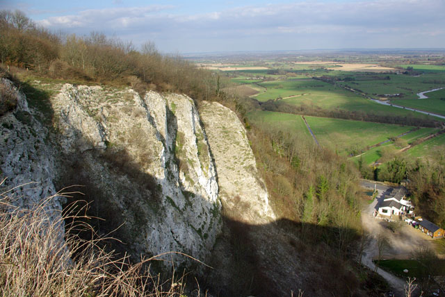
English: Quarry face behind the Chalk pit Inn Most of the chalk face is in TQ3911, as a bonus the right hand side gives a spledid view over the Ouse valley. |
| Date | |
| Source | From geograph.org.uk |
| Author | Robin Webster |
| Attribution (required by the licence) | Robin Webster / Quarry face behind the Chalk pit Inn / |
| Camera location | | View this and other nearby images on: OpenStreetMap |
|---|
_heading:22.00&language=en-gb)
| Object location | | View this and other nearby images on: OpenStreetMap |
|---|
_heading:22.00&language=en-gb)
Licensing

|
This image was taken from the Geograph GB & Eire project collection. See this photograph's page on the Geograph website for the photographer's contact details. The copyright on this image is owned by Robin Webster, and is licensed for reuse under the Creative Commons Attribution Share-Alike 2.0 license.
|
This file is licensed under the Creative Commons Attribution-Share Alike 2.0 Generic licence.
Attribution:
Robin Webster
- You are free:
- to share – to copy, distribute and transmit the work
- to remix – to adapt the work
- Under the following conditions:
- attribution – You must give appropriate credit, provide a link to the licence, and indicate if changes were made. You may do so in any reasonable manner, but not in any way that suggests the licensor endorses you or your use.
- share alike – If you remix, transform, or build upon the material, you must distribute your contributions under the same or compatible licence as the original.

|
The categories of this image need checking. You can do so here.
|
File history
Click on a date/time to view the file as it appeared at that time.
| Date/Time | Thumbnail | Dimensions | User | Comment | |
|---|---|---|---|---|---|
| current | 10:34, 4 March 2011 | | 640 × 428 (112 KB) | wikimediacommons>GeographBot | == {{int:filedesc}} == {{Information |description={{en|1=Quarry face behind the Chalk pit Inn Most of the chalk face is in TQ3911, as a bonus the right hand side gives a spledid view over the Ouse valley.}} |date=2007-03-14 |source=From [http://www.geogra |
File usage
The following 19 pages use this file:
- Unknown
- Heathfield Tunnel
- Lewes Tunnel
- Sharpthorne Tunnel
- Horsham Royal Observer Corps Group Headquarters
- Crawley Borough Emergency Centre
- Horsham District Council Emergency Centre
- Snape Mine
- Clayton Tunnel
- Flint mines on Windover Hill, 140m WSW of The Long Man
- United Kingdom quarry
- Asham Quarry
- Balcombe Tunnel
- Cissbury
- Haywards Heath Tunnel
- Cuilfail Tunnel
- Patcham Tunnel
- Southerham Grey Pit
- Southwick Hill Tunnel