Rear of former government shelter, Gilpin Road, Cambridge.jpg
From Underfoot

Size of this preview: 800 × 600 pixels. Other resolutions: 320 × 240 pixels | 640 × 480 pixels | 1,024 × 768 pixels | 1,280 × 960 pixels | 2,560 × 1,920 pixels | 4,032 × 3,024 pixels.
Original file (4,032 × 3,024 pixels, file size: 5.55 MB, MIME type: image/jpeg)
Summary
| Description |
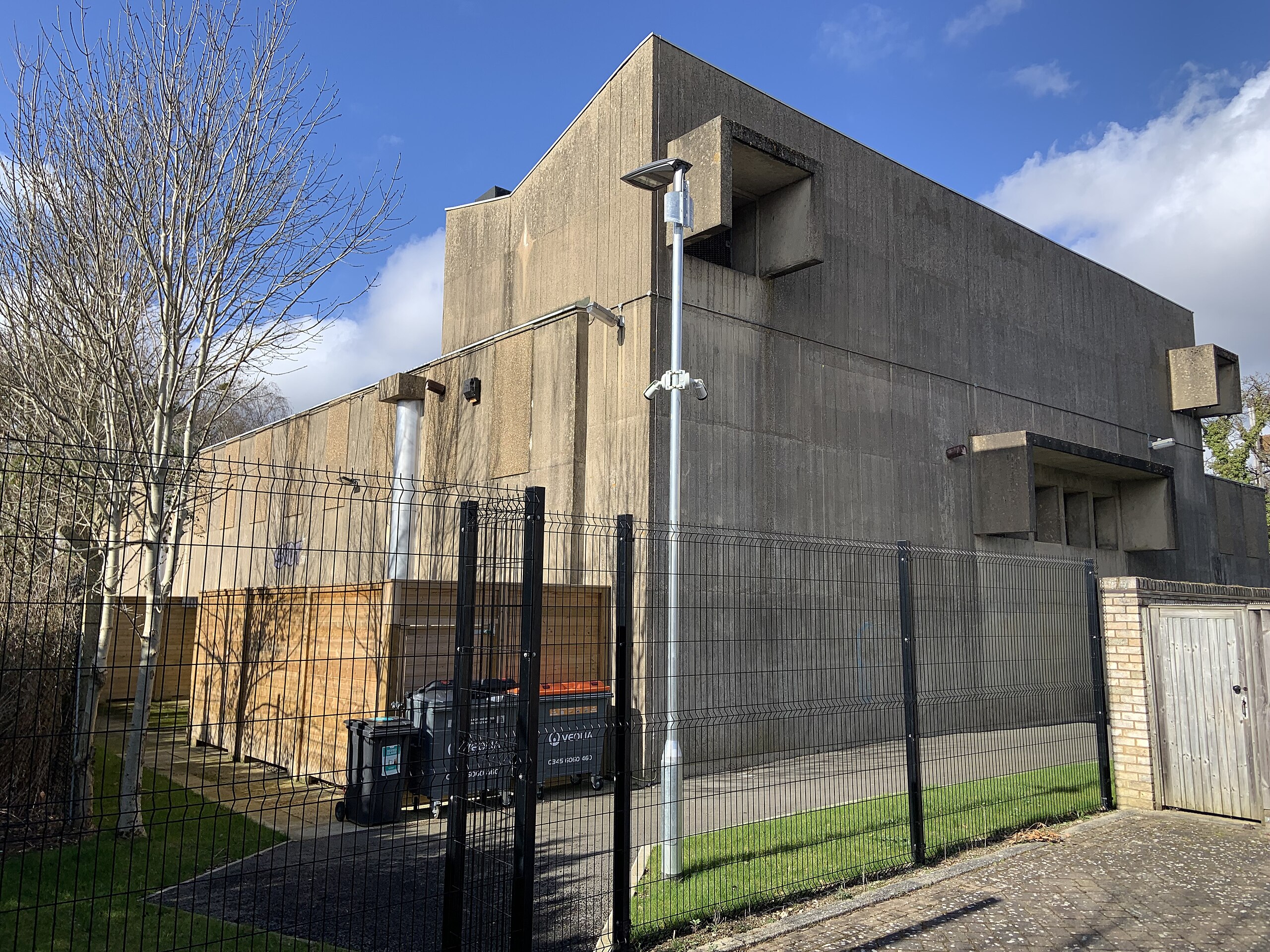
English: Rear of Grade-II listed former government shelter, Gilpin Road, Cambridge |
| Date | |
| Source | Own work |
| Author | Smb1001 |
| Camera location | | View this and other nearby images on: OpenStreetMap |
|---|
Licensing
I, the copyright holder of this work, hereby publish it under the following licence:
This file is licensed under the Creative Commons Attribution-Share Alike 4.0 International licence.
- You are free:
- to share – to copy, distribute and transmit the work
- to remix – to adapt the work
- Under the following conditions:
- attribution – You must give appropriate credit, provide a link to the licence, and indicate if changes were made. You may do so in any reasonable manner, but not in any way that suggests the licensor endorses you or your use.
- share alike – If you remix, transform, or build upon the material, you must distribute your contributions under the same or compatible licence as the original.
File history
Click on a date/time to view the file as it appeared at that time.
| Date/Time | Thumbnail | Dimensions | User | Comment | |
|---|---|---|---|---|---|
| current | 12:16, 14 March 2022 | | 4,032 × 3,024 (5.55 MB) | wikimediacommons>Smb1001 | Uploaded own work with UploadWizard |
File usage
The following 12 pages use this file:
- Cambridge Regional War Room
- Cambridgeshire South Cambridgeshire District Emergency Centre
- Ely East Cambridgeshire District Council Emergency Centre
- Saffron Walden Uttlesford District Council Emergency Centre
- Barkway Chalk Pit
- Barrington Quarry
- Widdington Pit
- Ashwell Quarry and Quarry Springs
- Hall's Quarry
- Barrington Chalk Pit
- Royston Cave
- United Kingdom bunker