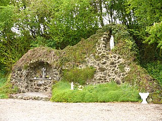
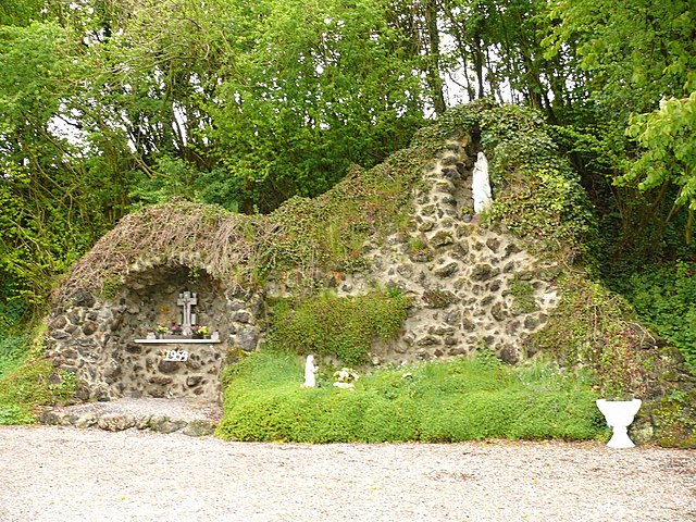
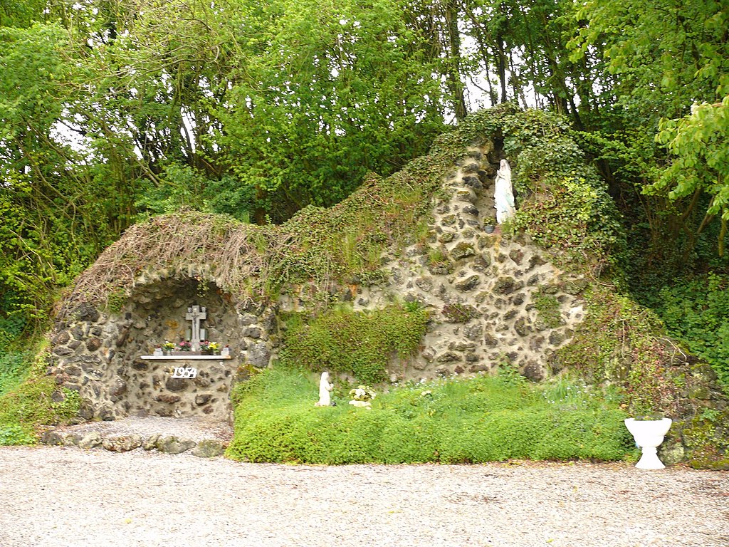
Voeren Remersdaal Neubau houtkant op talud bij Lourdesgrot - 191514 - onroerenderfgoed.jpg
From Underfoot

Size of this preview: 800 × 600 pixels. Other resolutions: 320 × 240 pixels | 640 × 480 pixels | 1,024 × 768 pixels | 1,280 × 960 pixels | 1,500 × 1,125 pixels.
Original file (1,500 × 1,125 pixels, file size: 590 KB, MIME type: image/jpeg)
Summary
| Description |
Nederlands: Voeren Remersdaal Neubau houtkant op talud bij Lourdesgrot
| ||||
| Address |
|
||||
| Date | |||||
| Source | https://id.erfgoed.net/afbeeldingen/191514 | ||||
| Author | Van der Linden, Geert |
| Object location | | View this and other nearby images on: OpenStreetMap |
|---|
Licensing
This file is licensed under the Creative Commons Attribution 4.0 International licence.
- You are free:
- to share – to copy, distribute and transmit the work
- to remix – to adapt the work
- Under the following conditions:
- attribution – You must give appropriate credit, provide a link to the licence, and indicate if changes were made. You may do so in any reasonable manner, but not in any way that suggests the licensor endorses you or your use.
File history
Click on a date/time to view the file as it appeared at that time.
| Date/Time | Thumbnail | Dimensions | User | Comment | |
|---|---|---|---|---|---|
| current | 12:37, 13 February 2020 | | 1,500 × 1,125 (590 KB) | wikimediacommons>BotMultichill | Uploading onroerenderfboed.be image from https://beeldbank.onroerenderfgoed.be/images/191514/content/original |
File usage
There are no pages that use this file.