Yeolands Quarry Portland Dorset.jpg
From Underfoot
Size of this preview: 800 × 496 pixels. Other resolutions: 320 × 198 pixels | 640 × 397 pixels | 1,024 × 635 pixels.
Original file (1,024 × 635 pixels, file size: 777 KB, MIME type: image/jpeg)
Summary
| Description |
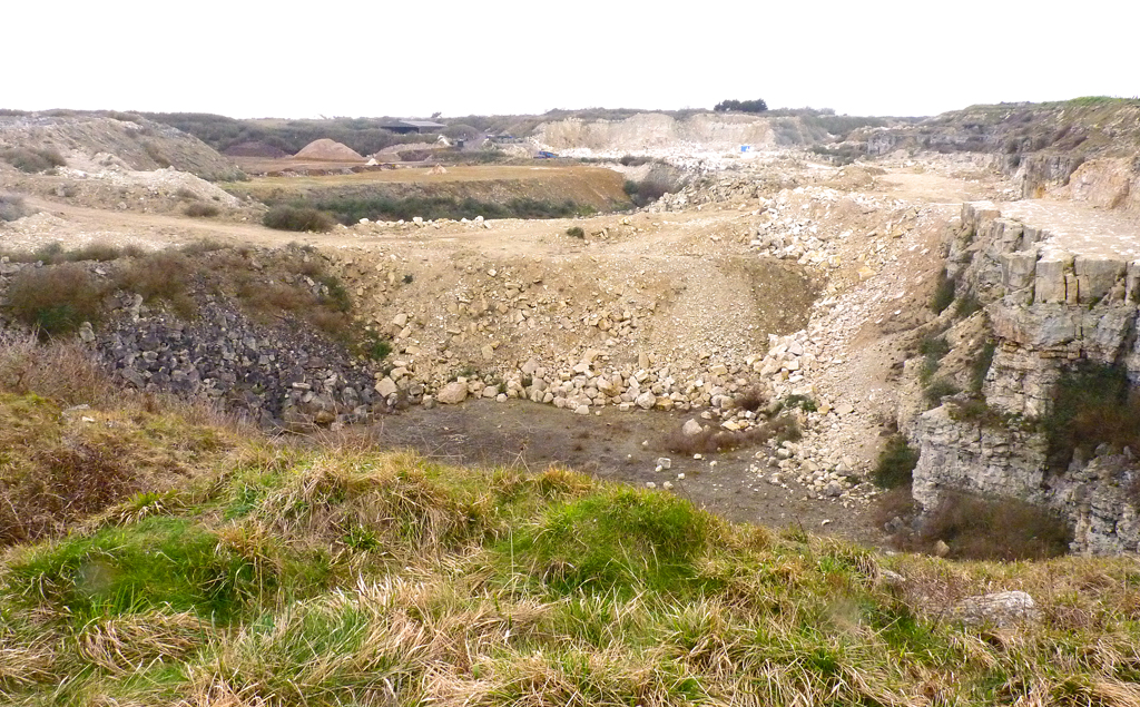
English: Yeolands Quarry Portland Dorset |
| Date | |
| Source | https://www.geograph.org.uk/photo/2857284 |
| Author | Mike Smith |
| Attribution (required by the licence) | Mike Smith / Yeolands Quarry / |
| Camera location | | View this and other nearby images on: OpenStreetMap |
|---|
Licensing

|
This image was taken from the Geograph GB & Eire project collection. See this photograph's page on the Geograph website for the photographer's contact details. The copyright on this image is owned by Mike Smith, and is licensed for reuse under the Creative Commons Attribution Share-Alike 2.0 license.
|
This file is licensed under the Creative Commons Attribution-Share Alike 2.0 Generic licence.
Attribution:
Mike Smith
- You are free:
- to share – to copy, distribute and transmit the work
- to remix – to adapt the work
- Under the following conditions:
- attribution – You must give appropriate credit, provide a link to the licence, and indicate if changes were made. You may do so in any reasonable manner, but not in any way that suggests the licensor endorses you or your use.
- share alike – If you remix, transform, or build upon the material, you must distribute your contributions under the same or compatible licence as the original.
File history
Click on a date/time to view the file as it appeared at that time.
| Date/Time | Thumbnail | Dimensions | User | Comment | |
|---|---|---|---|---|---|
| current | 12:35, 16 September 2017 | | 1,024 × 635 (777 KB) | wikimediacommons>Geograph Update Bot | Higher-resolution version from Geograph. |
File usage
The following 16 pages use this file:
- Rodwell Tunnel
- Ridgeway Hill Anti-Aircraft Operations Room
- Broadcroft Quarry
- Purbeck Mining Museum
- Coombefield Quarry
- Bowers Quarry
- Perryfield Quarry
- Yeolands Quarry
- United Kingdom quarry
- Jordans Mine
- Winspit
- Grotto Or Rock Bridge, 400 Metres South South East Of Encombe House
- Chalbury Hill And Quarry
- King Barrow Quarry
- Tout Quarry
- Blue Pool