Folldal gruver
From Underfoot
Q14788365
'
1748 — 1993
Wikimedia, WikidataNorway,
.jpg)
-
Location: 62.1417, 9.9974, KML, Cluster Map, Maps,
3 places
-

Haukberget ⓘ
-
Kollberget ⓘ
-

Folldal gruver ⓘ
1748-01-01T00:00:00Z
1993-01-01T00:00:00Z
1748 — 1993 Folldal gruver
{"selectable":false,"showCurrentTime":false,"width":"100%","zoomMin":100000000000}
 Folldalgruver gammeltbilde
 Boring, Folldal Verk, Tverrfjellet
 Togetfolldalgruver
 Vinter SFG
 Folldal gruver, taubanen
 Folldal gruver, hovedgruva
 Folldal gruver, vaskeriet
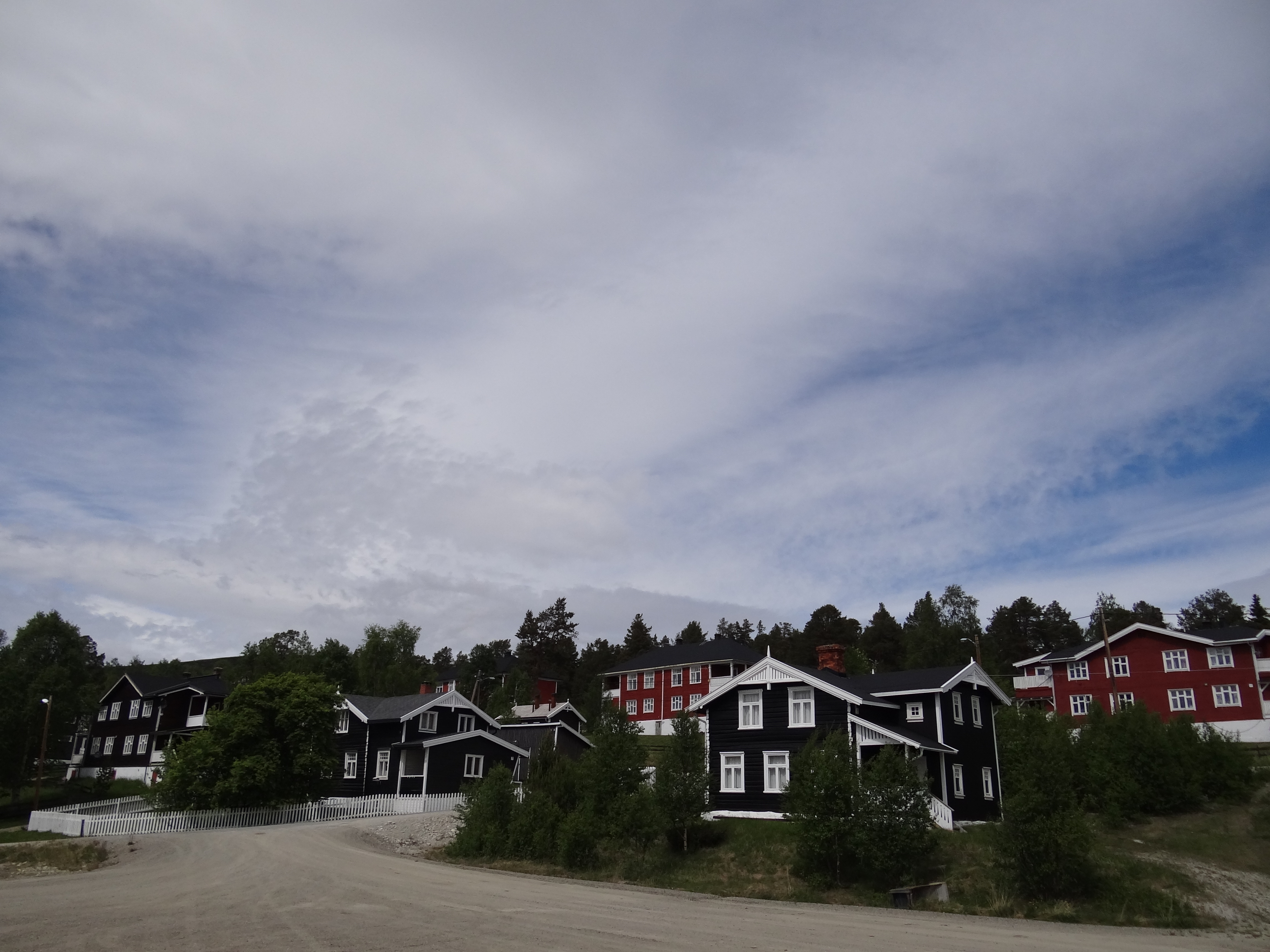 Folldal Gruver - Folldal (14961469632) (2)
 Folldal Gruver - Folldal (14961464062)
 Folldal Gruver - Folldal (14961466472)
| Type | Subtype | Date | Description | Notes | Source |
|---|---|---|---|---|---|
| site | mine | Haukberget | stone quarry | Wikidata | |
| site | mine | Kollberget | stone quarry | Wikidata | |
| site | mine | 1748 | Folldal gruver | quarry | Wikidata |
| commons | image | Folldalgruver gammeltbilde | Commons | ||
| commons | image | Boring, Folldal Verk, Tverrfjellet | Commons | ||
| commons | image | Togetfolldalgruver | Commons | ||
| commons | image | Vinter SFG | Commons | ||
| commons | image | Folldal gruver, taubanen | Commons | ||
| commons | image | Folldal gruver, hovedgruva | Commons | ||
| commons | image | Folldal gruver, vaskeriet | Commons | ||
| commons | image | Folldal Gruver - Folldal (14961469632) (2) | Commons | ||
| commons | image | Folldal Gruver - Folldal (14961464062) | Commons | ||
| commons | image | Folldal Gruver - Folldal (14961466472) | Commons | ||
_(2).jpg)
.jpg)