Homestake Mine
From Underfoot
Q2351504
The Homestake Mine was a deep underground gold mine located in Lead, South Dakota. Until it closed in 2002, it was the largest and deepest gold mine in the Western Hemisphere. The mine produced more than forty million troy ounces of gold during its lifetime. This is about 2,500 cubic feet (71 m3) or a volume of gold roughly equal to 18,677 US gallons. The mine has since reopened and has been owned and operated by Dakota Gold Corp since 2022.
1876 — 2003
Wikimedia, WikidataUnited States,

-
Location: 44.3561, -103.765, KML, Cluster Map, Maps,
1 places
-

Homestake Mine ⓘ
underground gold mine
1876-04-01T00:00:00Z
2003-06-10T00:00:00Z
1876 — 2003 Homestake Mine
{"selectable":false,"showCurrentTime":false,"width":"100%","zoomMin":100000000000}
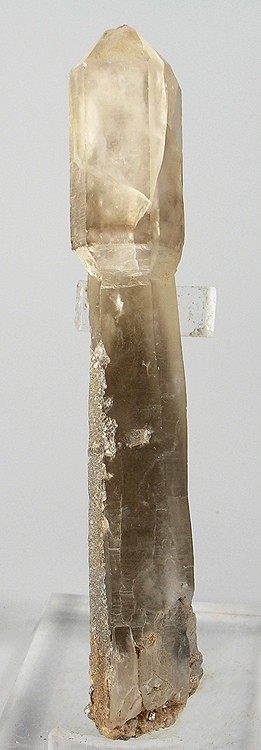 Quartz-191723
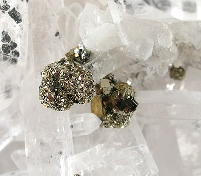 Bournonite-Pyrite-Quartz-rhqtz-29b
 Bournonite-Pyrite-Quartz-rhqtz-29a
 Silver-d73a
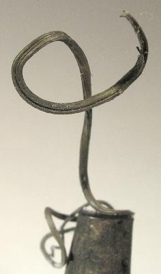 Silver-d73b
 Quartz-Bournonite-Pyrite-159833
 The Three Tracks, Lead, South Dakota - postcard
 GideonMoody
 Homestake Mining Co. Hydroelectric Plant No. 2 near Spearfish, South Dakota, 2014
 Homestake Mine Visitor Center, Lead, SD 20110822 1
- A 3D Broadband Seismometer Array Experiment at the Homestake Mine - scholarly article by Vuk Mandic et al published 22 August 2018 in Seismological Research Letters, Q1860
- Stratigraphy and Metamorphism in a part of the Northern Black Hills and the Homestake Mine, Lead, South Dakota - scholarly article, Q1860, 1948
| Type | Subtype | Date | Description | Notes | Source |
|---|---|---|---|---|---|
| site | mine | 1876 | Homestake Mine | gold mine | Wikidata |
| commons | image | Quartz-191723 | Commons | ||
| commons | image | Bournonite-Pyrite-Quartz-rhqtz-29b | Commons | ||
| commons | image | Bournonite-Pyrite-Quartz-rhqtz-29a | Commons | ||
| commons | image | Silver-d73a | Commons | ||
| commons | image | Silver-d73b | Commons | ||
| commons | image | Quartz-Bournonite-Pyrite-159833 | Commons | ||
| commons | image | The Three Tracks, Lead, South Dakota - postcard | Commons | ||
| commons | image | GideonMoody | Commons | ||
| commons | image | Homestake Mining Co. Hydroelectric Plant No. 2 near Spearfish, South Dakota, 2014 | Commons | ||
| commons | image | Homestake Mine Visitor Center, Lead, SD 20110822 1 | Commons | ||