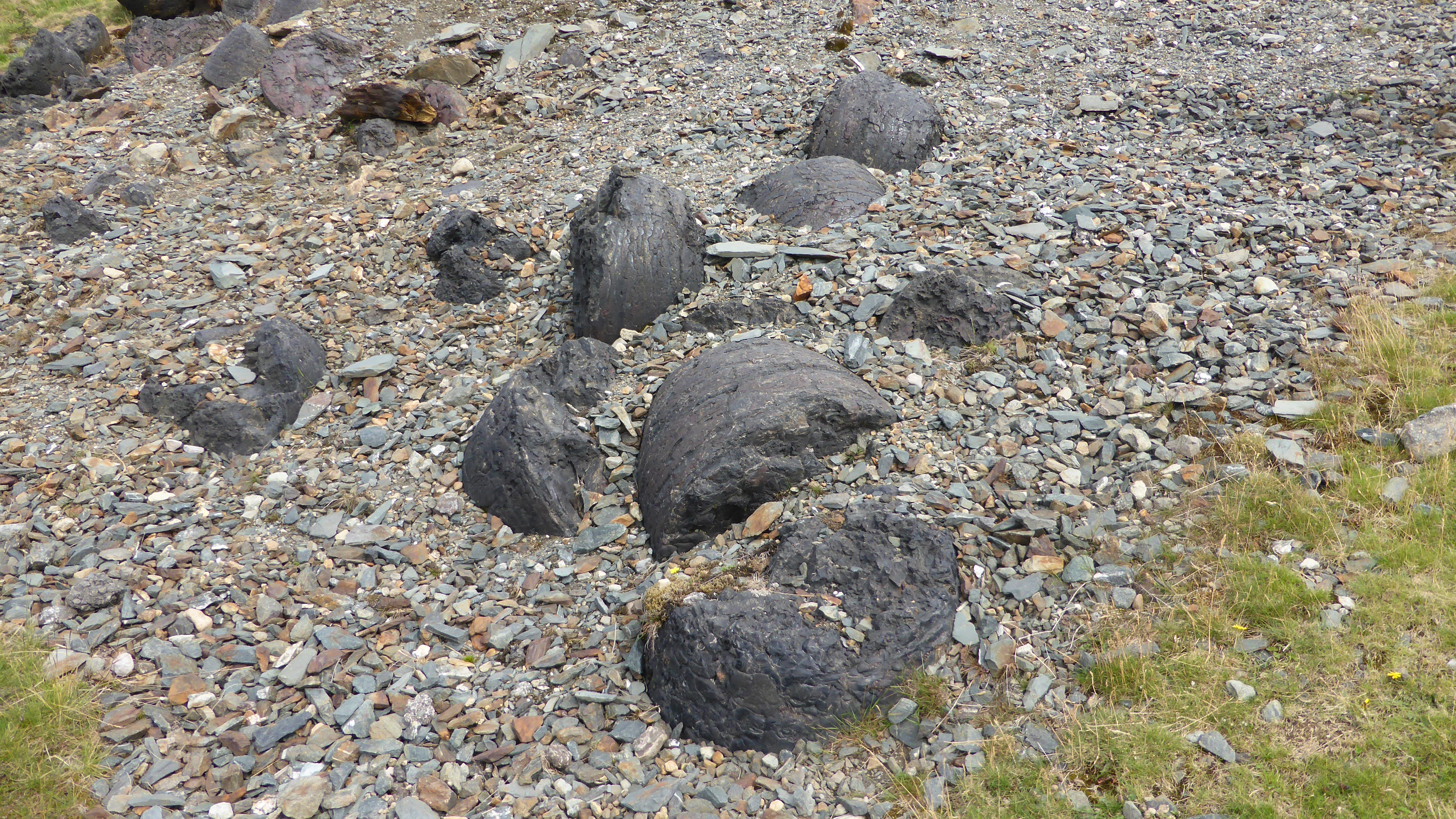
Nab Gill mine
From Underfoot
Q65966981
iron mine in Eskdale
- Historic England research records page@
Location: 54.4, -3.2728, KML, Cluster Map, Maps,
26 places
-

Abbottswood Anti-Aircraft Operations Room ⓘ
British air defence bunker -
Borrowdale graphite mines and associated grinding mill, 660m north west of Seathwaite ⓘ
mine in Borrowdale, United Kingdom -
File:Abandoned mine, Coniston copper mines 2.jpg Coniston copper mines ⓘ
old mines above Lake Coniston inc. the Youth Hostel -
Dale Head copper mine 300m north east of Dale Head ⓘ
copper mine in Above Derwent, Cumbria, England, UK -
Dale Head copper mine dressing floors and associated buildings 400m north of Dale Head ⓘ
copper mine in Above Derwent, Cumbria, England, UK -
Gill Force mine ⓘ
disused mine in Eskdale, Cumbria, England, UK -
File:Old Quarry, Scope End - geograph.org.uk - 1109903.jpg Goldscope copper and lead mines and remains of associated dressing floors, stamp mill, dressing mill, reservoir and leats ⓘ
mine in Above Derwent, United Kingdom -
Greenburn copper mines and associated ore processing works ⓘ
mine in Coniston, United Kingdom -
File:Spoil Heaps, Sticks Gill - geograph.org.uk - 302325.jpg Greenside lead mines, ore works and smelt mill ⓘ
lead mine in Patterdale, Cumbria, England, UK -
File:Greenside Mine, site 2014.JPG Greenside Mine ⓘ
former lead mine in the Lake District of England -
File:Haig Colliery - geograph.org.uk - 486351.jpg Haig Colliery ⓘ
coal mine in Whitehaven, Cumbria, England, UK -
File:Honister Slate Mine - geograph.org.uk - 892668.jpg Honister Slate Mine ⓘ
slate mine in Cumbria, United Kingdom
-
Lead mine and ore works at Greenhead Gill, Grasmere ⓘ
mine in Lakes, United Kingdom -
File:Hayeswater Gill - geograph.org.uk - 4701430.jpg Myers Head lead mine ⓘ
mine in Patterdale, United Kingdom -
Nab Gill mine ⓘ
iron mine in Eskdale -
St Thomas' Work Elizabethan copper mine 320m north west of Grey Buttress ⓘ
copper mine in Above Derwent, Cumbria, England, UK -
Top Power House electric power generation station and associated leat for Greenside lead mine centred 740m NNW of Hole-in-the-Wa ⓘ
mine in Patterdale, United Kingdom -
Woodhouse Colliery ⓘ
Proposed coal mine in Cumbria, England -
File:Haig Mining Museum - geograph.org.uk - 2162959.jpg Haig Colliery Mining Museum ⓘ
visitor attraction in Cumbria, England -
Keswick Mining Museum ⓘ
museum in Keswick, England, UK -
File:Threlkeld Mining museum (5673763174).jpg Threlkeld Quarry And Mining Museum ⓘ
museum in Threlkeld, England, UK -
File:Railway tunnel near Furness Abbey - geograph.org.uk - 210566.jpg Furness Abbey Tunnel ⓘ
railway tunnel in the UK -
File:Haverthwaite railway station MMB 02 Princess.jpg Haverthwaite East Tunnel ⓘ
railway tunnel in the UK -

Haverthwaite West Tunnel ⓘ
railway tunnel in the UK -
Underpass approx 120m north-west of Whitegate Cottages ⓘ
underpass in Lower Holker, Cumbria, England, UK -
File:Single line tunnel at Corkickle - geograph.org.uk - 3569755.jpg Whitehaven Tunnel ⓘ
railway tunnel in the UK
.jpg)
{"selectable":false,"showCurrentTime":false,"width":"100%","zoomMin":100000000000}
 2023_07_08_01
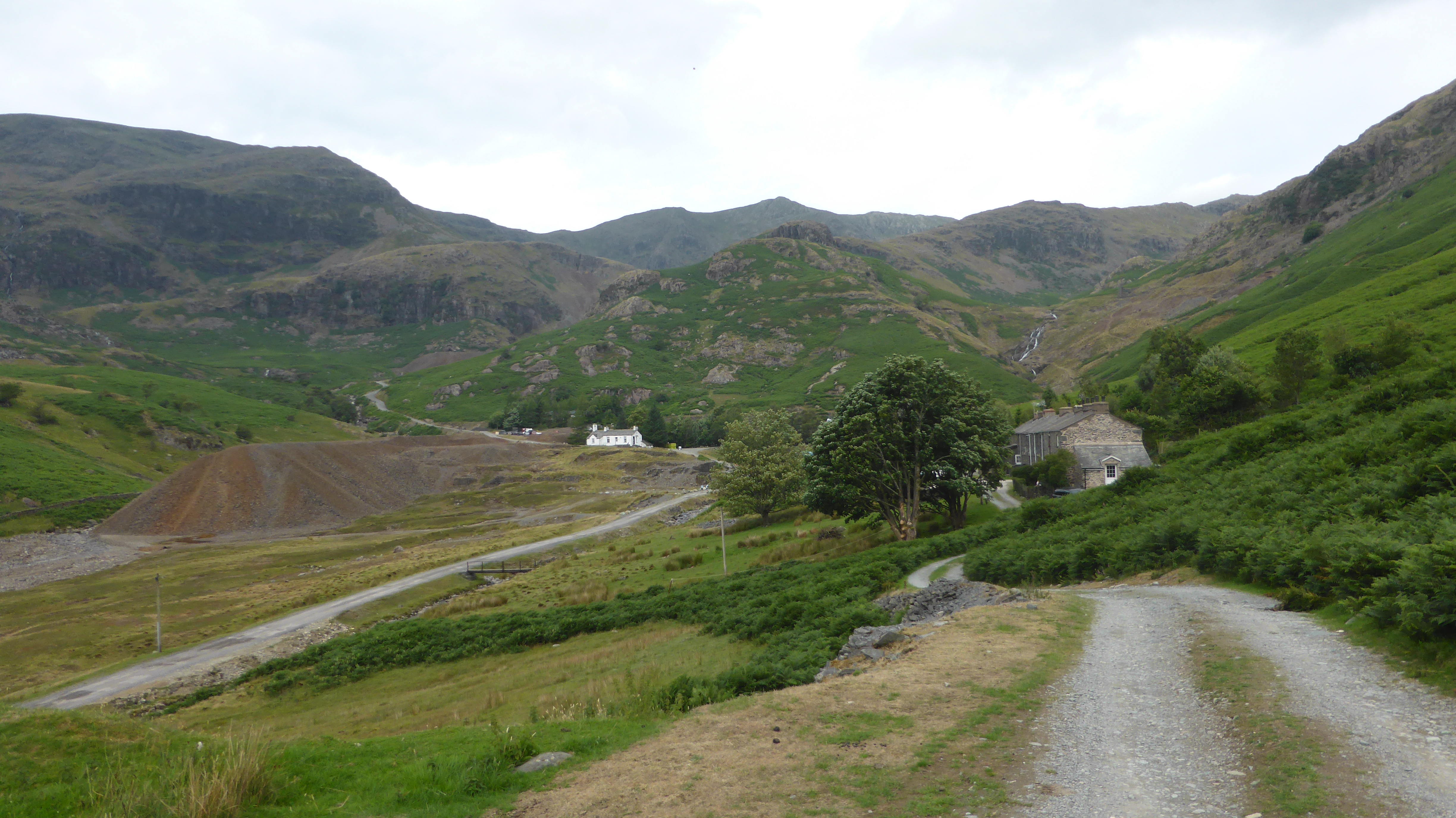 2023_07_08_02
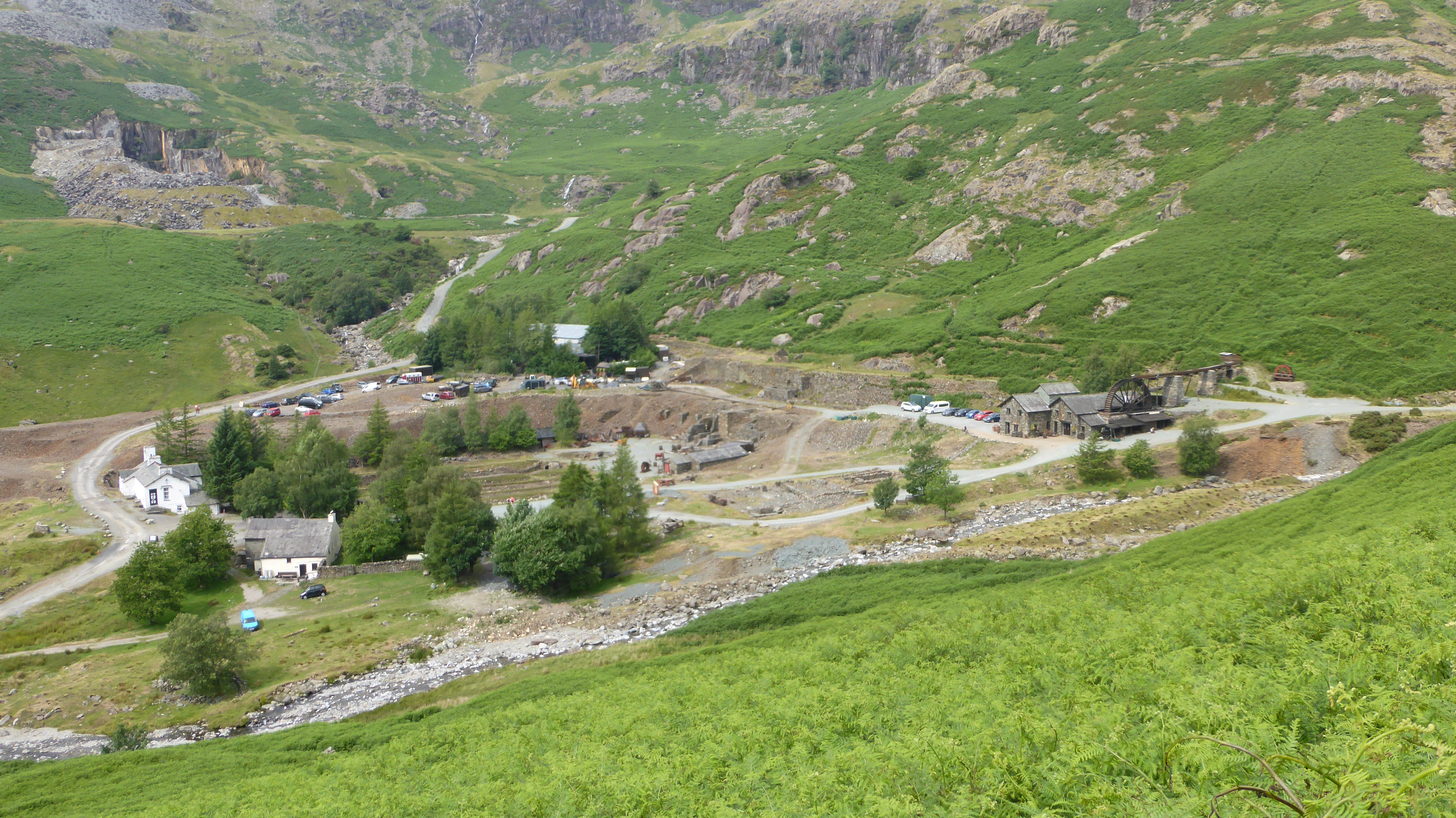 2023_07_08_03
 2023_07_08_04
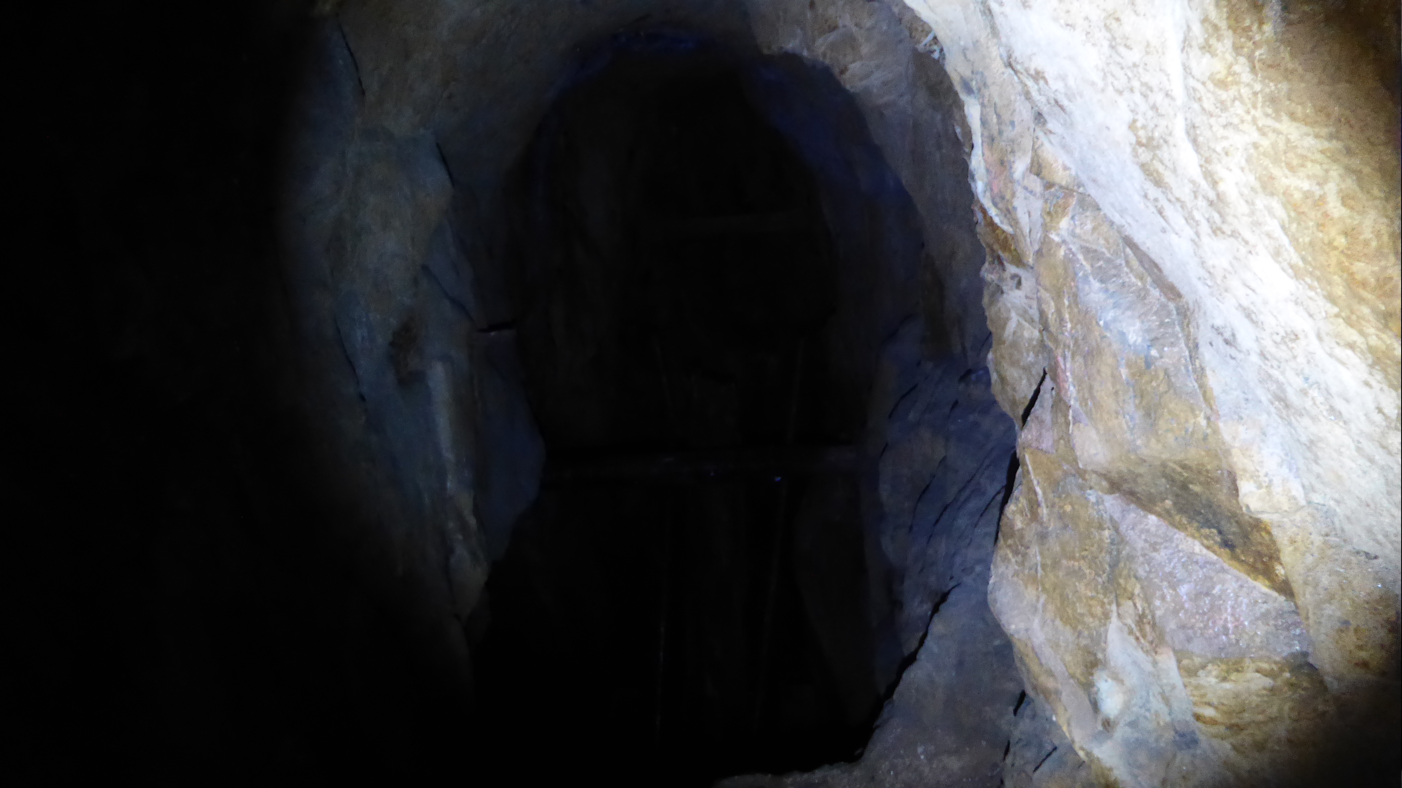 2023_07_08_05
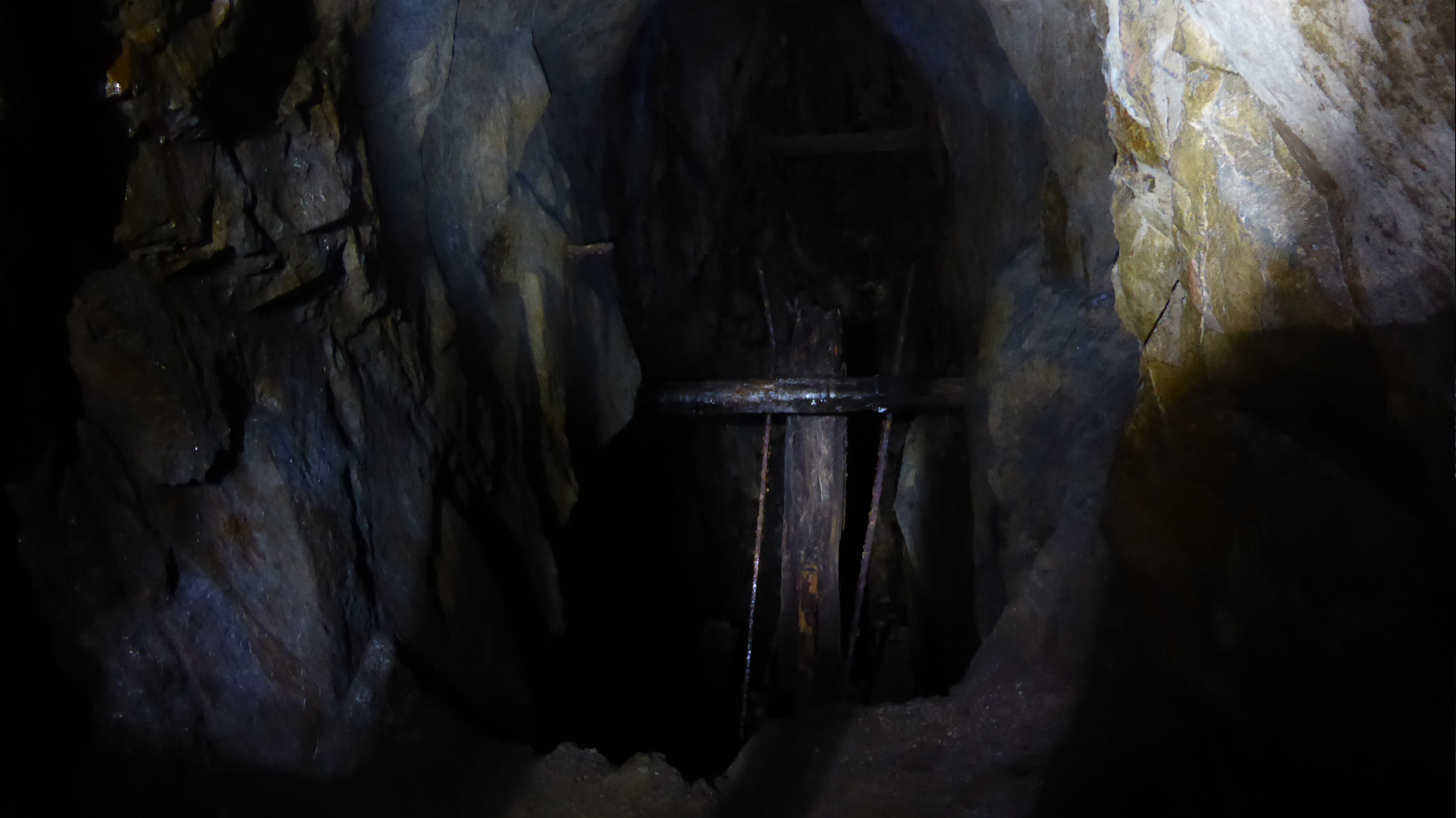 2023_07_08_06
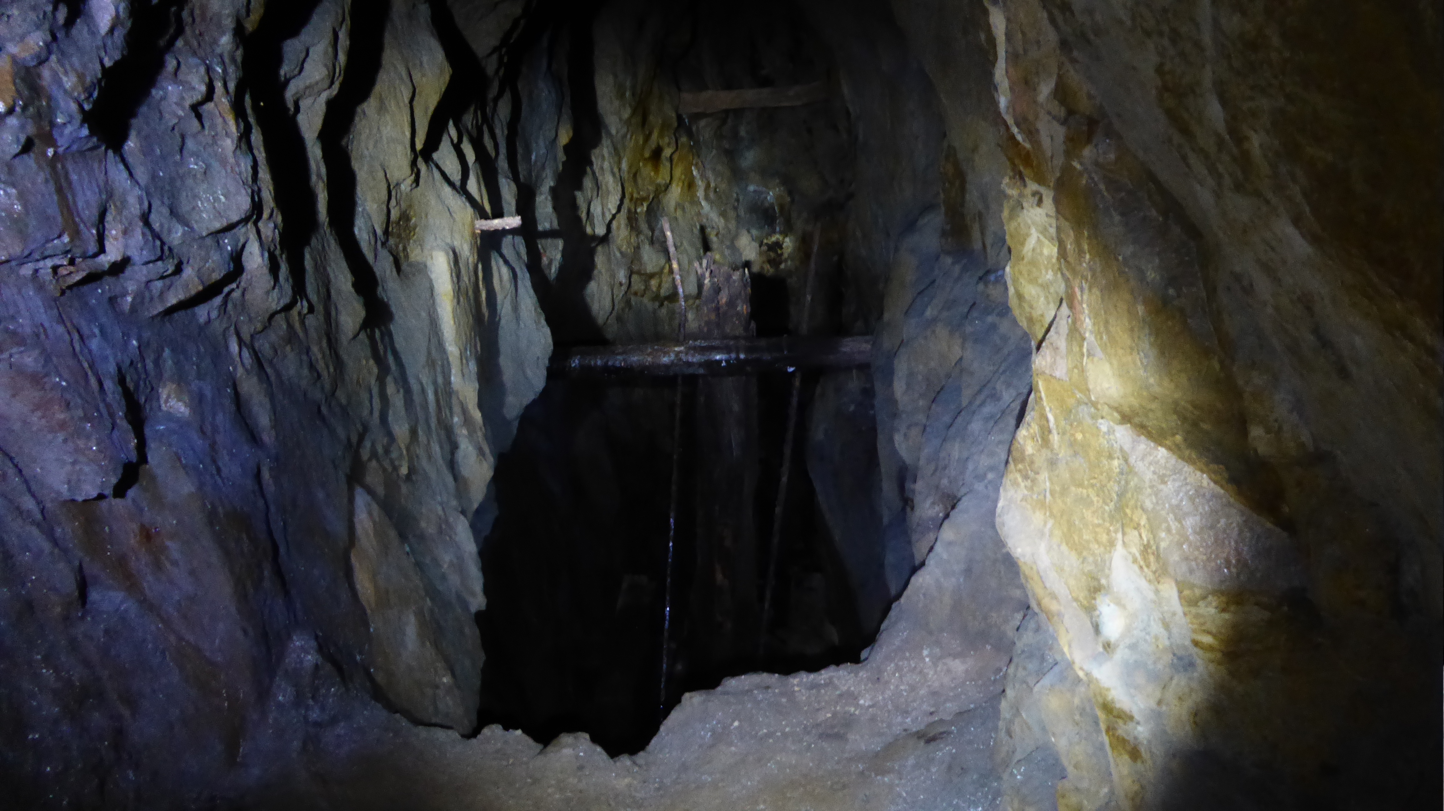 2023_07_08_07
 2023_07_08_08
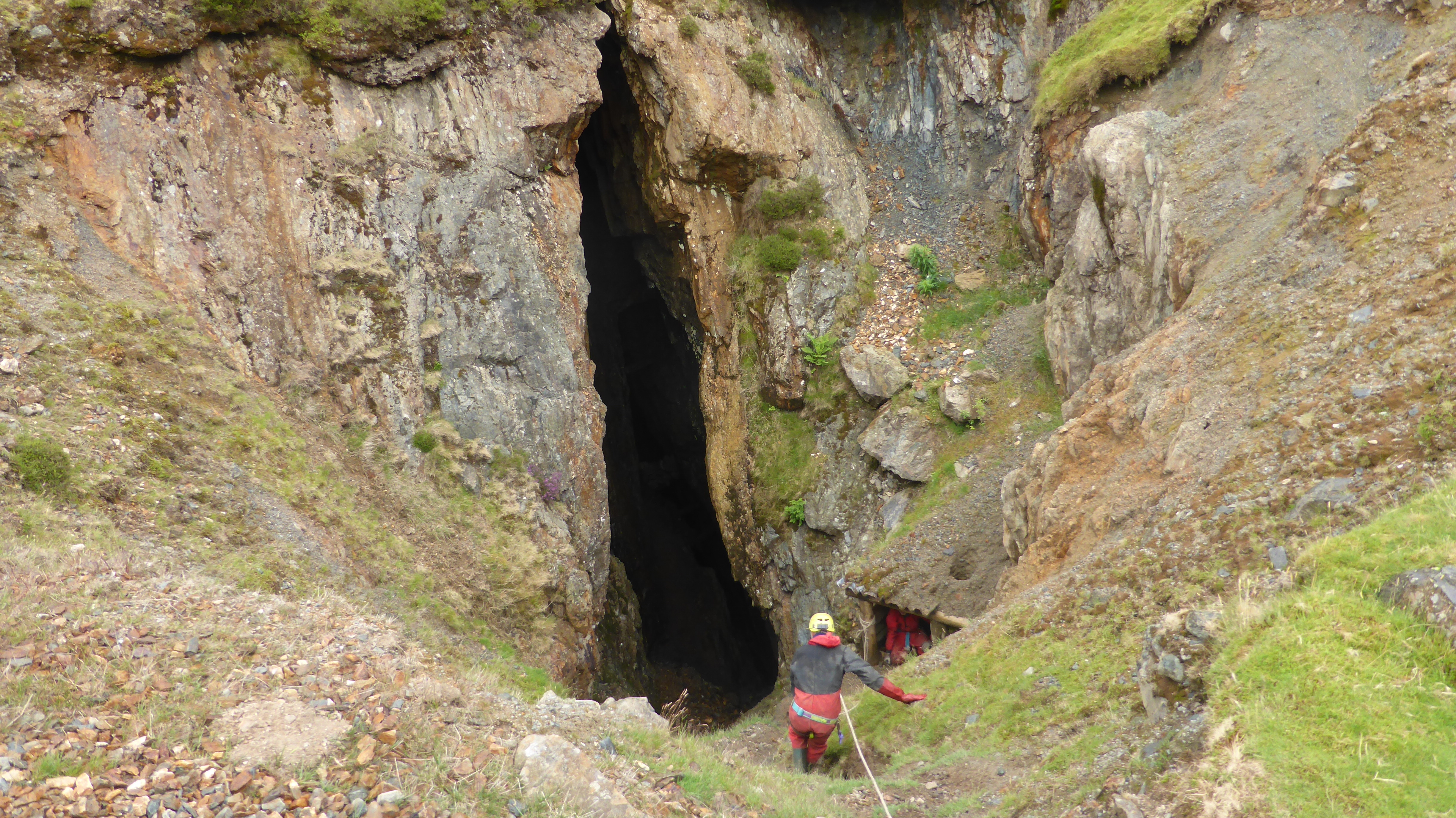 2023_07_08_09
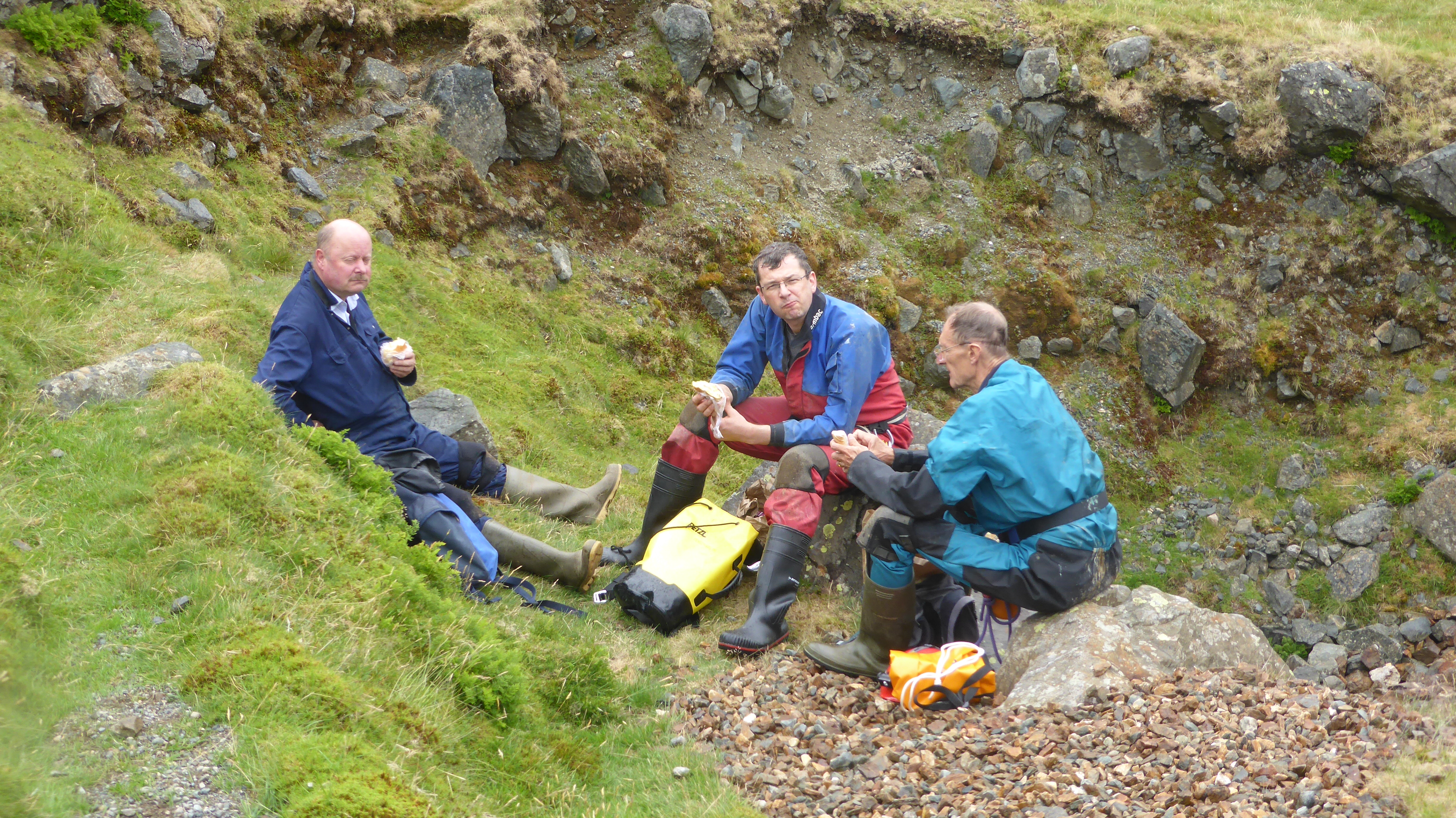 2023_07_08_10
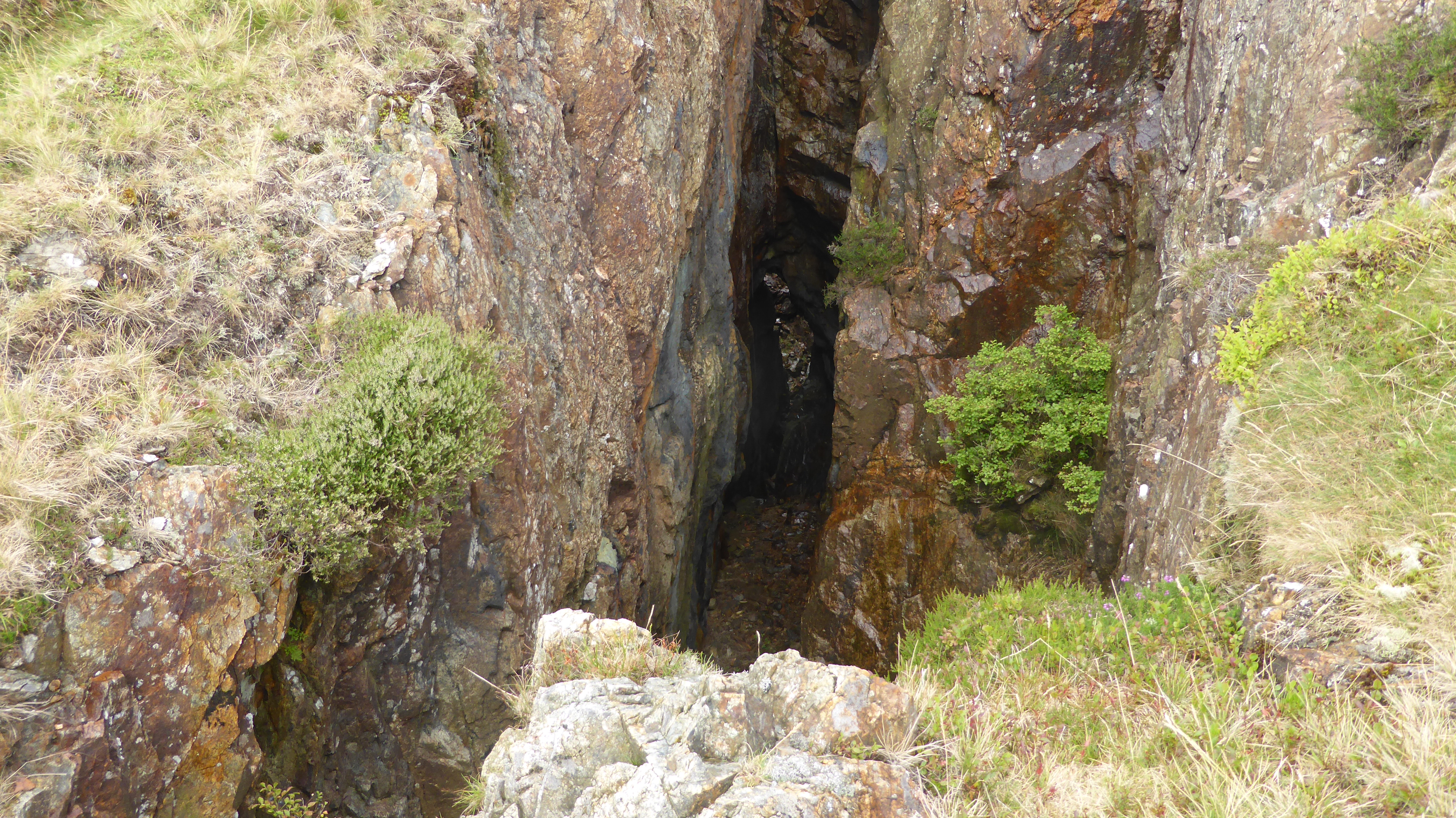 2023_07_08_11
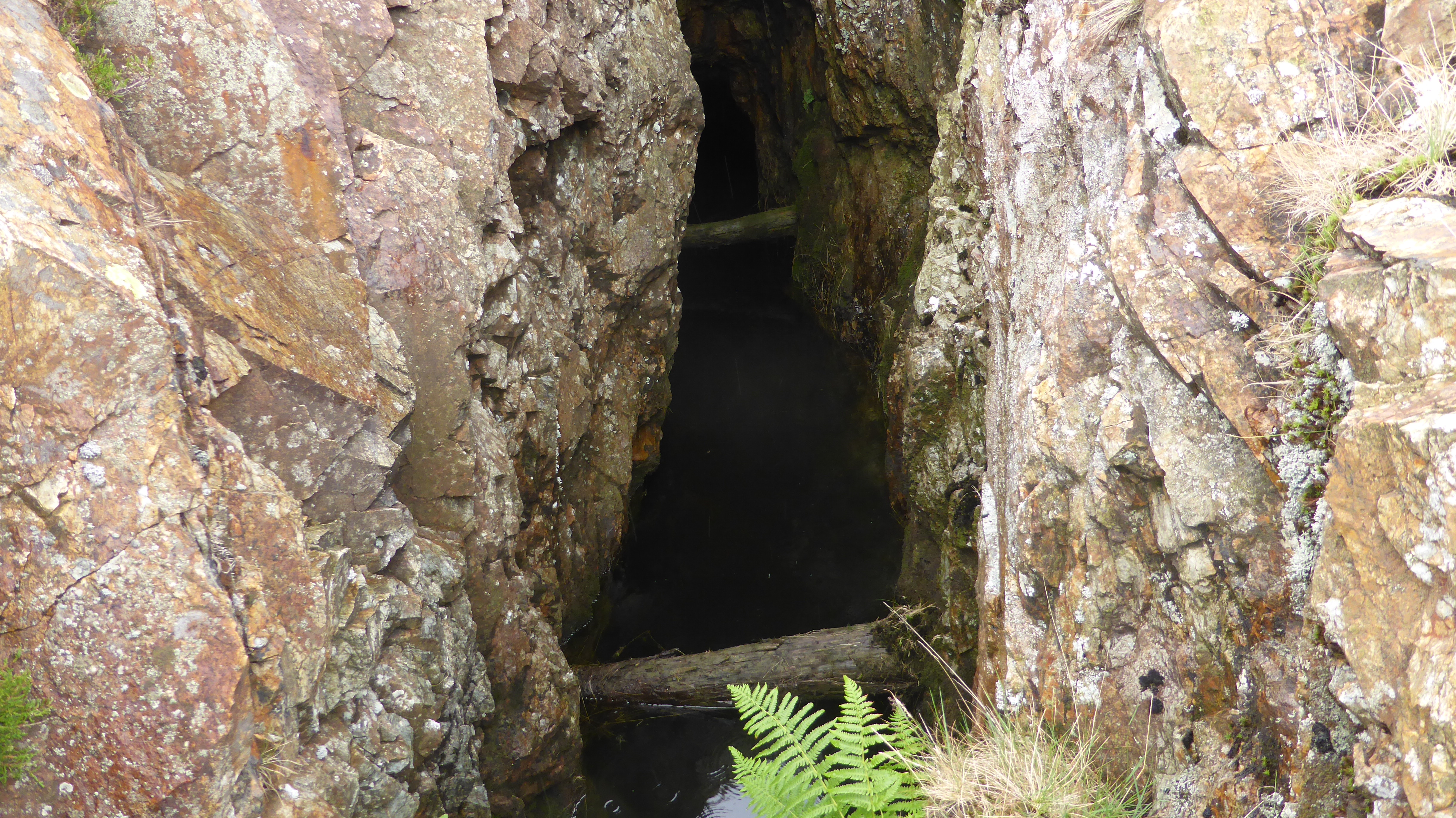 2023_07_08_12
 2023_07_08_13
 2023_07_08_14
 2023_07_08_15
 2023_07_08_16
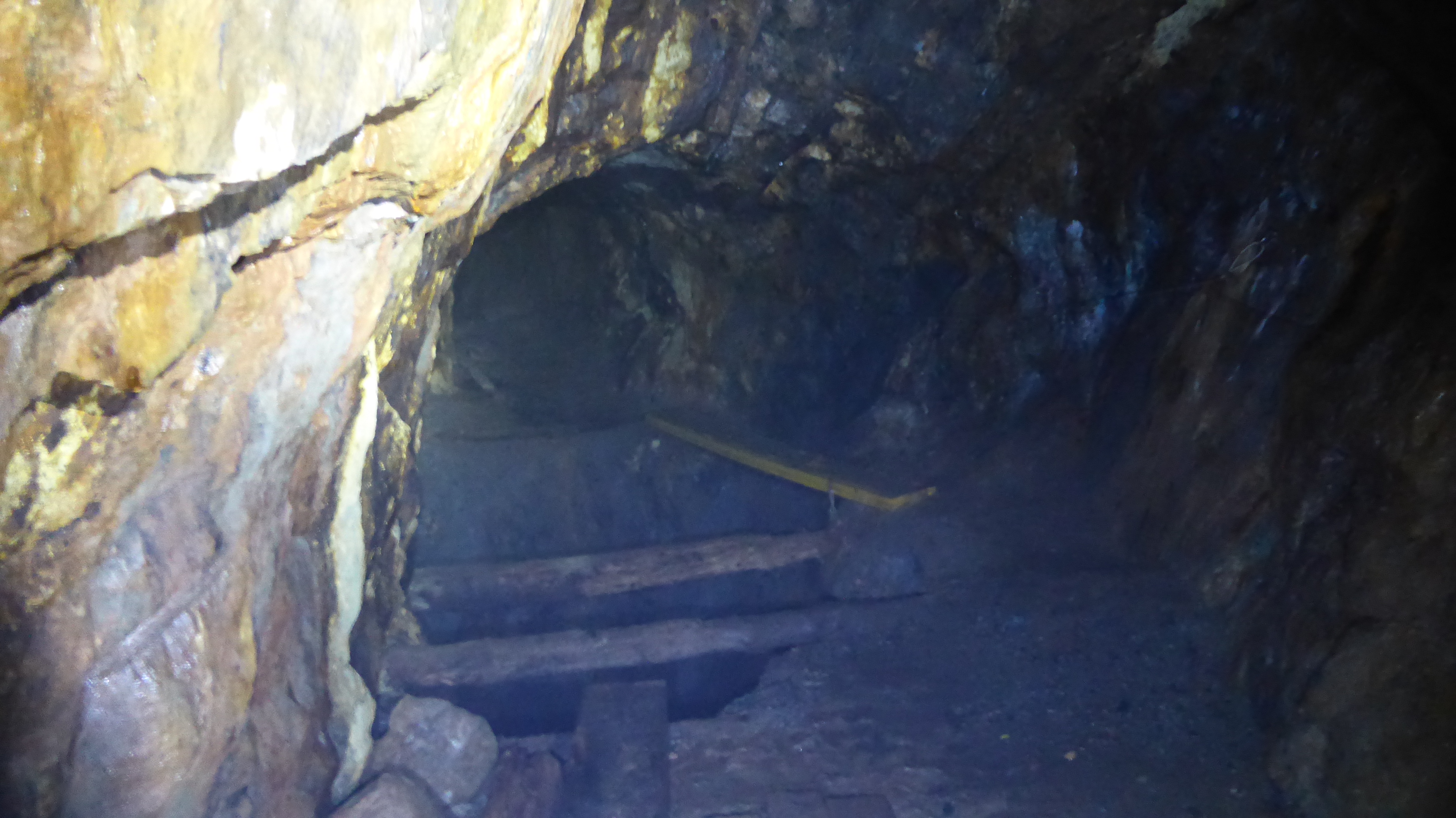 2023_07_08_17
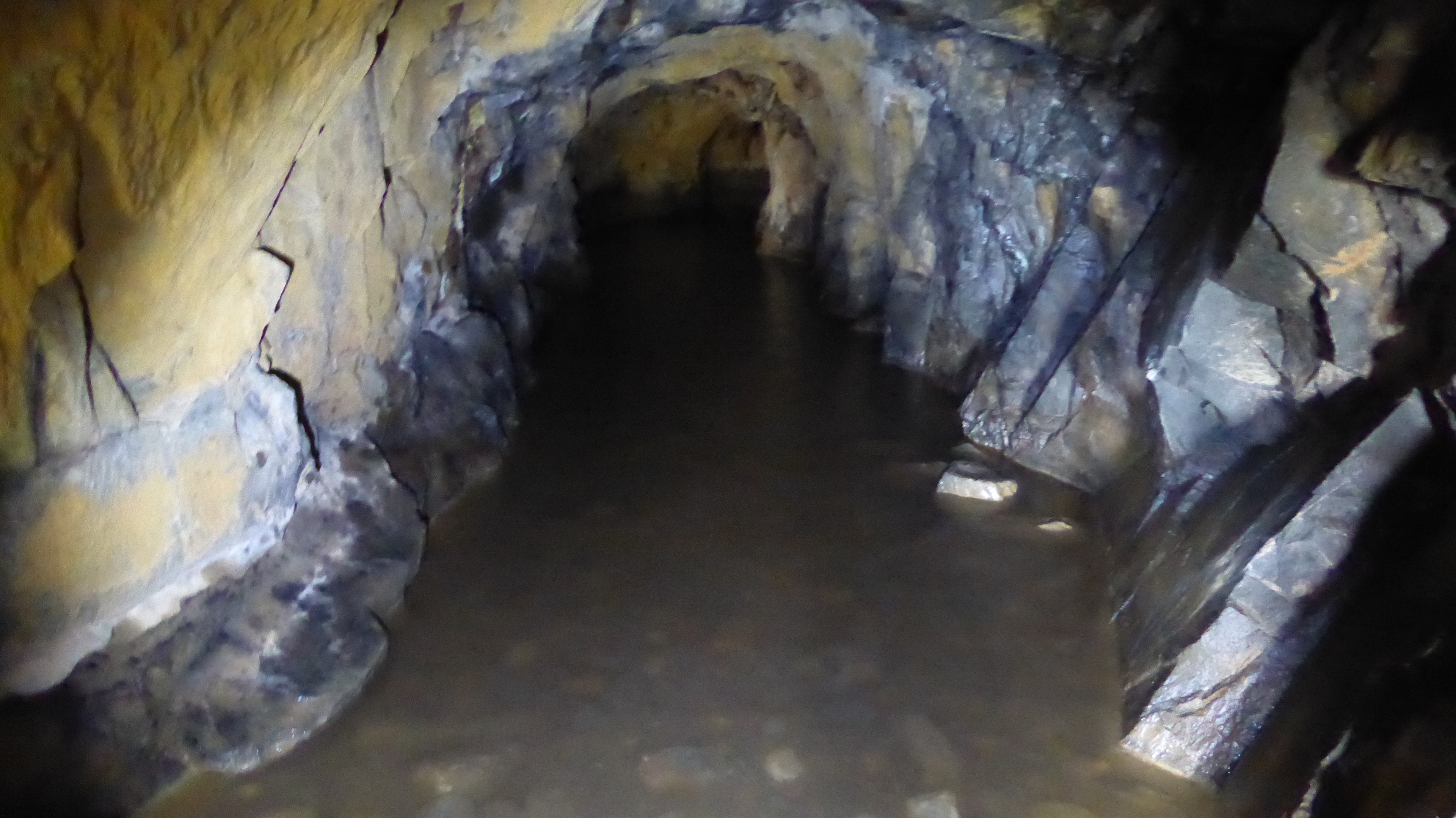 2023_07_08_18
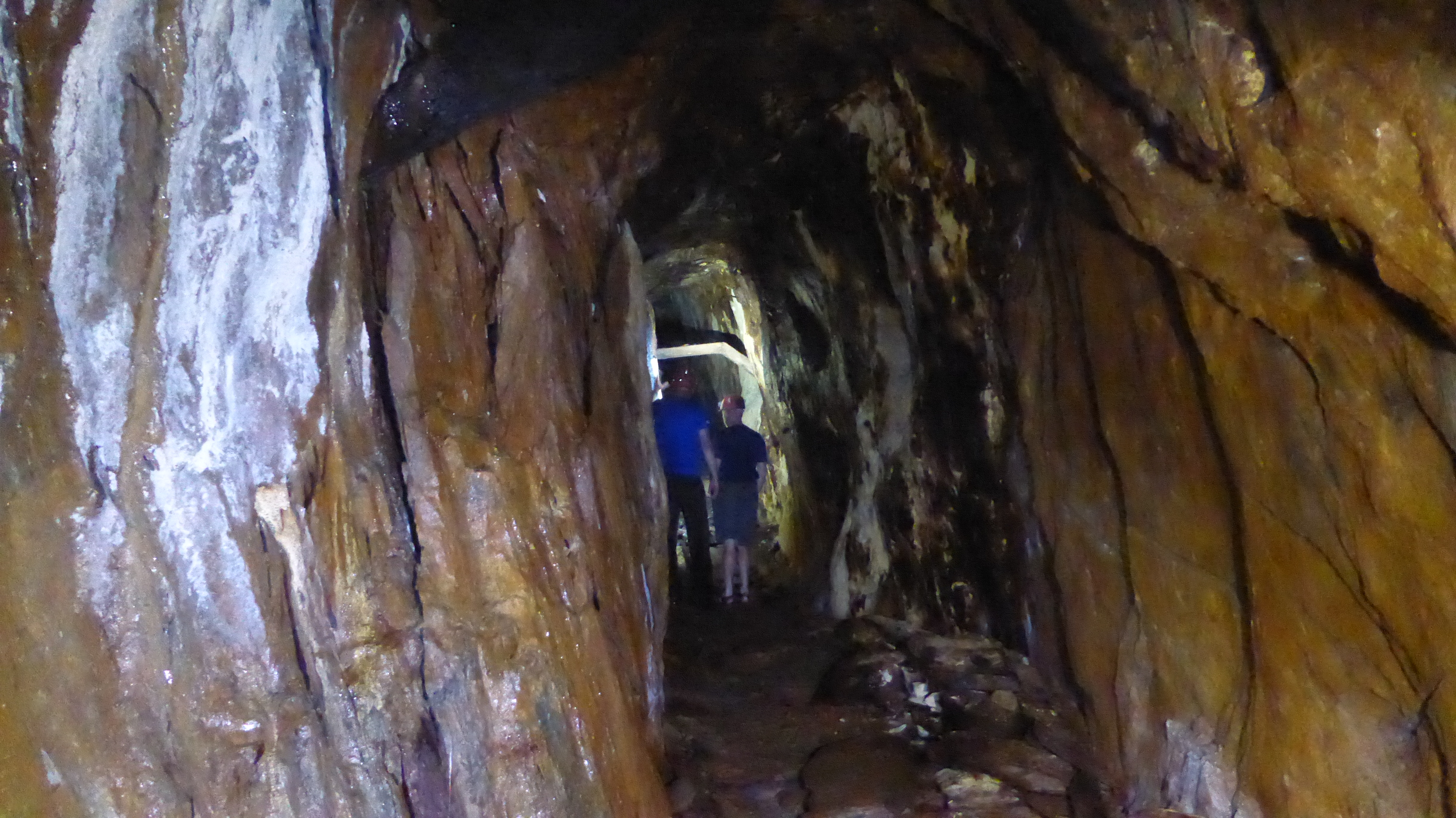 2023_07_08_19
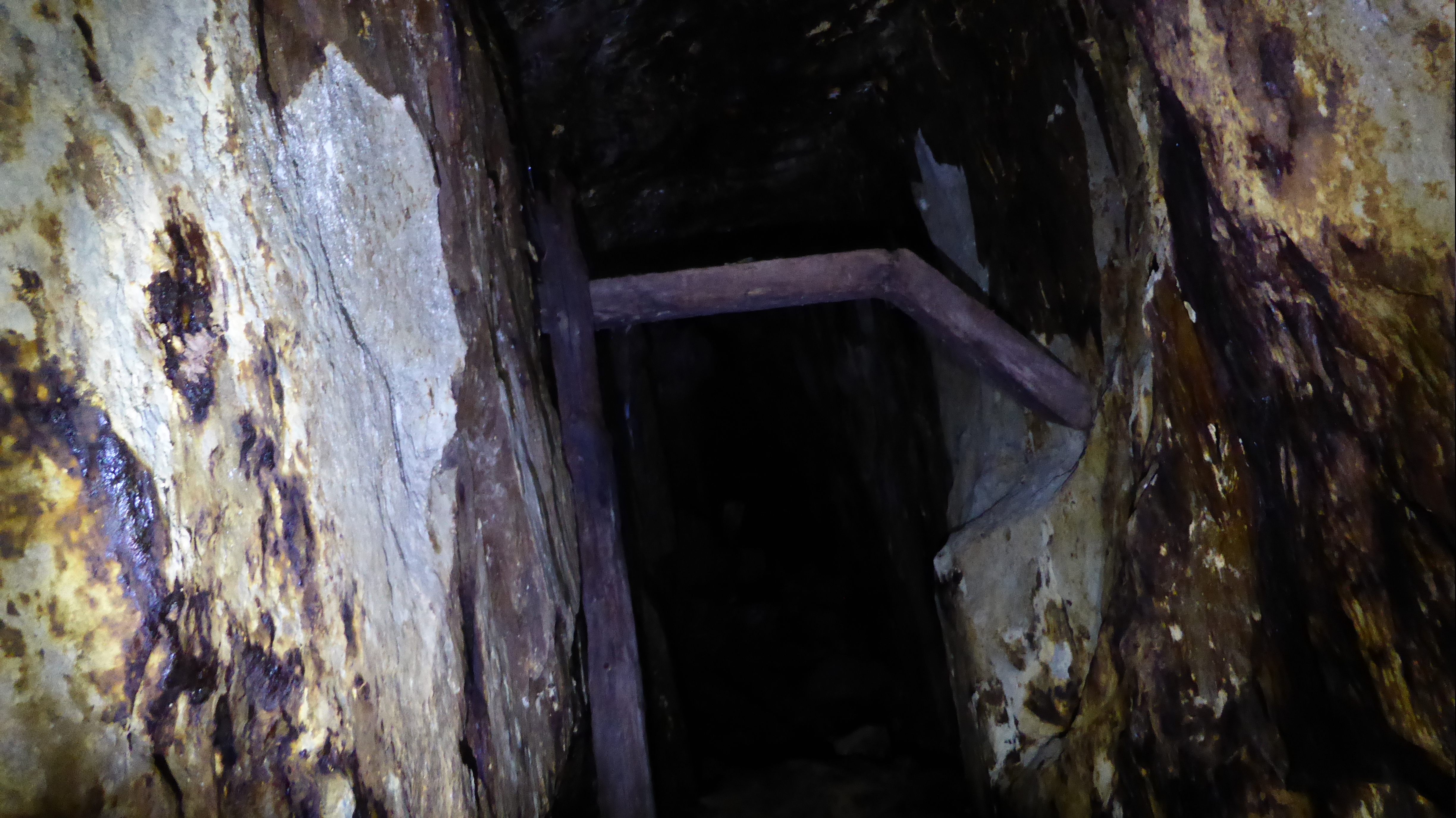 2023_07_08_20
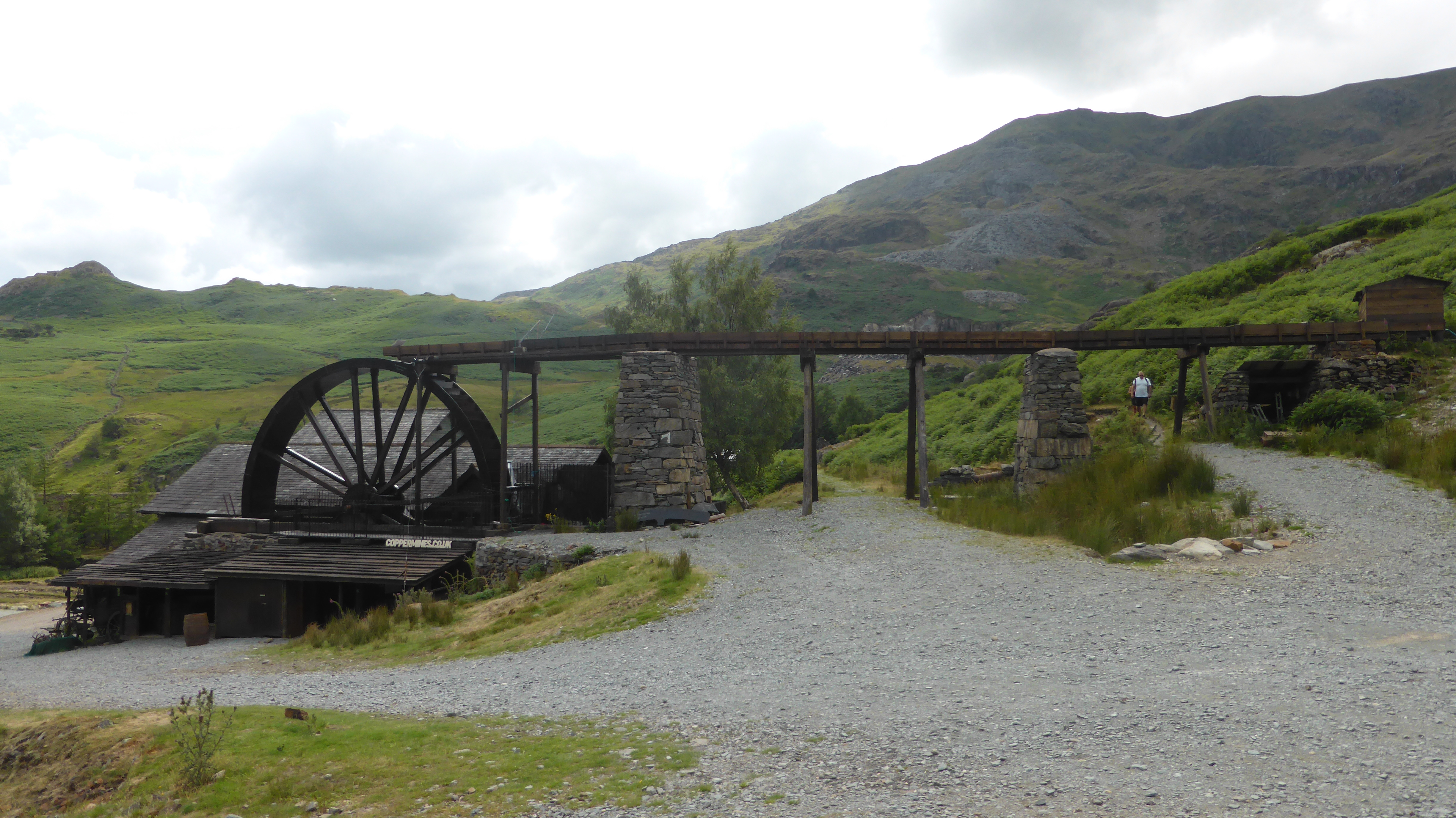 2023_07_08_21
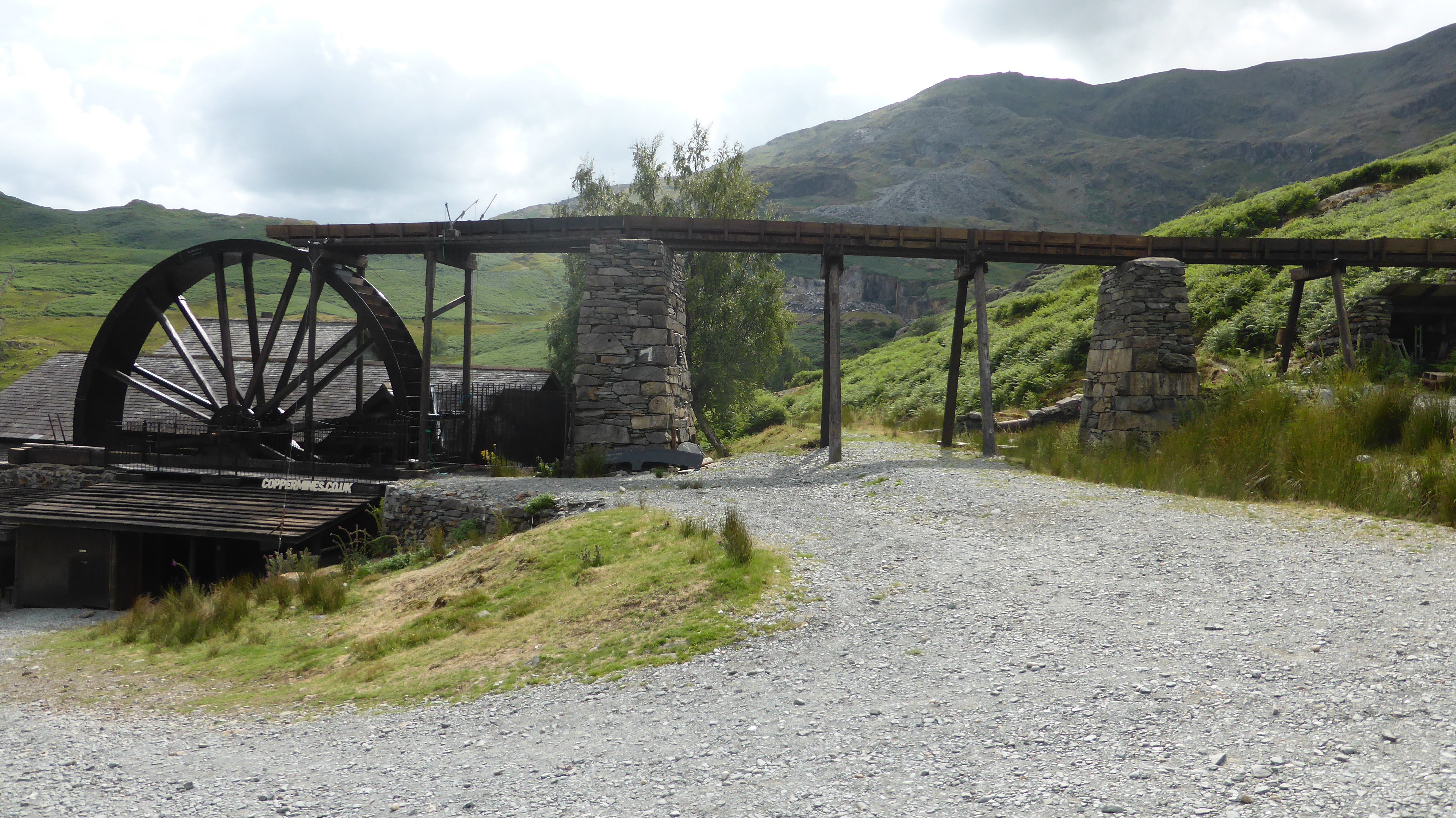 2023_07_08_22
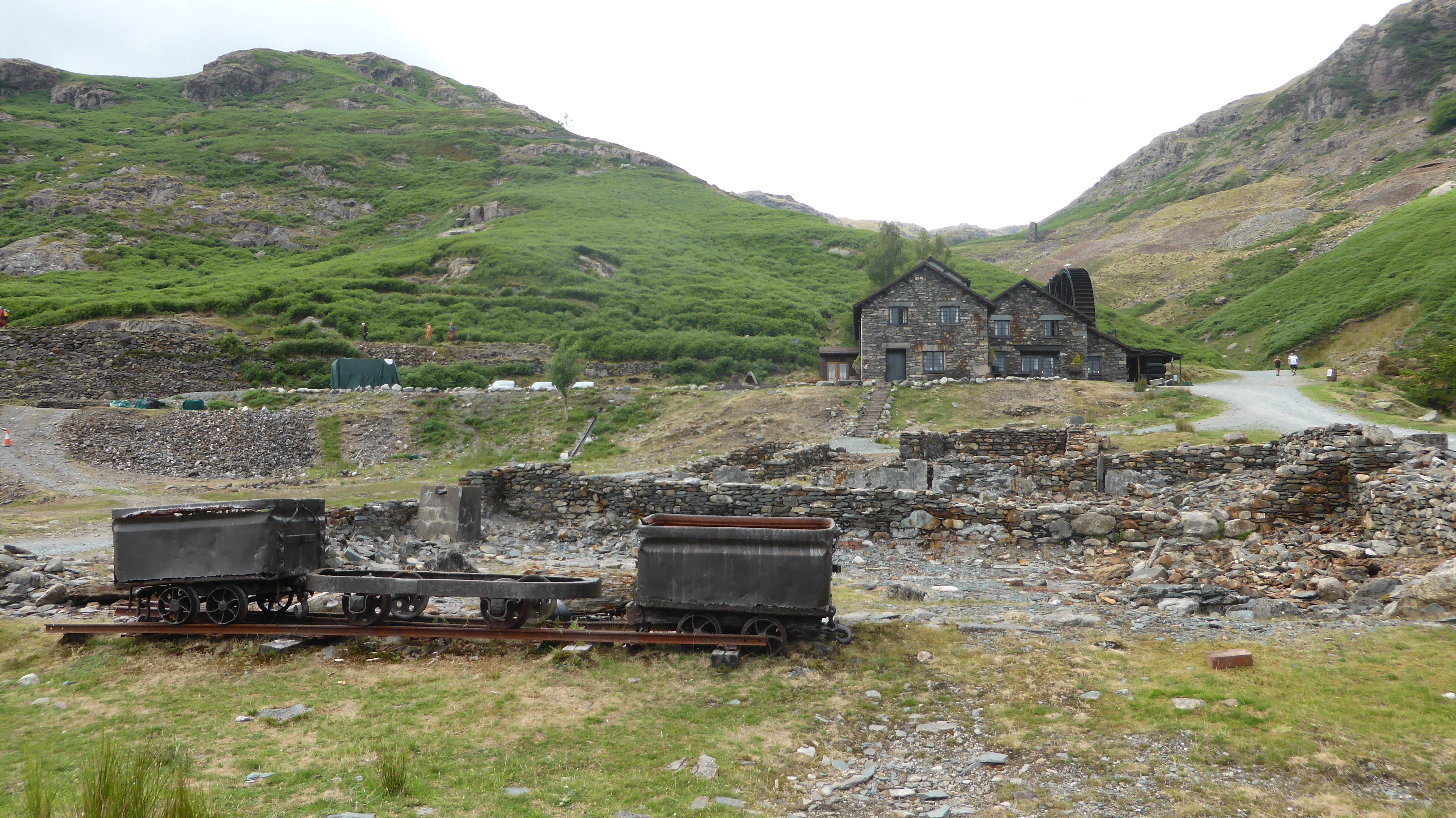 2023_07_08_23
 2023_07_08_24